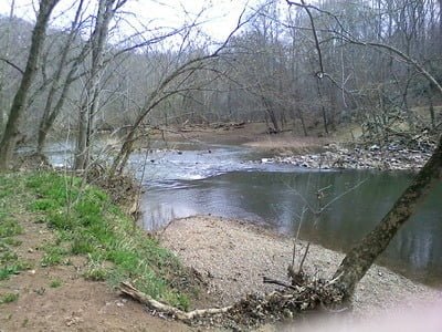
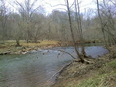
I did not have time to go fishing last Sunday, but I did have time to finally do a reconnaissance of the Hemlock Overlook Park. I discovered it last year when I was looking at the Fairfax County website for additional public property adjacent to water. I thought I knew the Occoquan Reservoir and river well and was surprised to discover a whole new Park that had escaped my scrutiny.
The information about the Park is a little bit confusing on the County website since it is also the location for an organization that does adventure training activities for hire. After an exchange of e-mails in which I confirmed that the public did have access to this area and that the trail did run next to the river, I made a resolution to visit it. The upper Occoquan Reservoir has eluded me for years. On an earlier expedition, I walked downstream from the Jackson Dam, but was not impressed with the quality of the water there. It was mostly muddy and still. My hope was that farther downstream, closer to the reservoir, there was enough additional velocity imparted by contributing streams that the situation would change. Likewise, I was disappointed with the other major feeder – Bull Run – up near Manassas. Maybe things would be different closer to the lake!
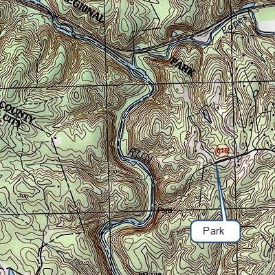
After I rolled into the parking lot and examined the map posted at the kiosk, I followed the yellow-blazed trail down to the river. It is an easy half mile walk following the path that eventually drops into the crack between two ridgelines on the last sharp downward pitch to the river. There is an uphill climb on the way out, so be sure you are prepared for that.
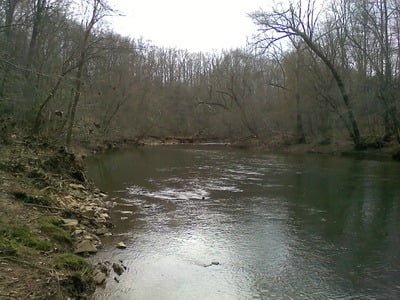
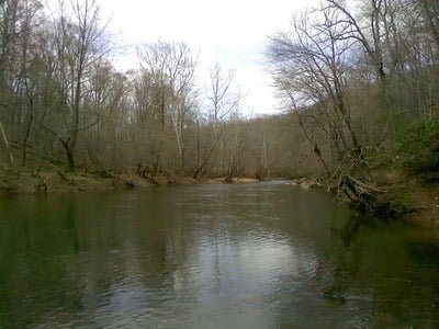
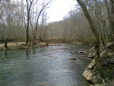
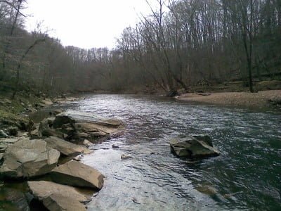
I was instantly impressed when I stood on the edge of the river. The bottom looked like it had plenty of rocks and the river was running clean and clear. Although it was mostly too deep to wade given the early-season run off, I bet that by the time we reach June, the water levels will have dropped and wading will be easy. From the looks of the deeper spots in the center of the river, most of the wading activity will be confined to a narrow strip along the shore. The southern bank looked like it would be better than the northern bank upon which I stood. The bank on the northern side is steep and precipitous, lined with rocks. The southern bank consists of sandy beaches and gentle slopes. I’m already creating my plan for my return and hope to be able to wade across the river at some point to attack upstream from that southern bank.
I walked along the river for another half mile upstream and my favorable impression did not change. There are plenty of deeper pools that should hold good smallmouth even in the heat of summer. In fact, there’s a small old dam- like structure that backs the water up and creates a deep upstream area. With the tight vegetation that hugs the shoreline, it will be problematic to use fly gear if you are confined to the shore. Therefore, if you come here, bring both a fly as well is a spin pack rod and choose the right weapon when the situation presents itself.
Bottom line: I’m anxious to return when the water warms up and the bass are moving. This looks like a winning solution that is close to the population centers in Northern Virginia, but should not be extremely pressured as a result of the filter of a moderately strenuous hike to reach the bank of the river.
Getting There: From Route 123, turn west on VA-655/Clifton Road [there will be a sign for Hemlock]. Follow it to eventually turn left on Yates Ford Road [there will be a sign]. Follow it to the end.
Bull Run Creek Fishing Secrets Revealed? No. This is a very public location that is documented on the Fairfax County Park website
Tell a friend about this article by clicking on this link
Unless stated otherwise, this article was authored by Steve Moore


