

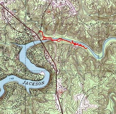
If you have driven on Rt 234 into or out of Manassas, you have driven by the Jackson Dam and probably wondered how you could fish it. Well, there is no good news about the lake that backs up behind the dam. As far as I can determine, there is no public access to that large body of water. If you read the newsletters published by the Jackson Dam homeowner’s association that you can find online, they discuss a few community access points controlled via lock and key, and anyone from outside the community is liable to have their truck towed. This is not the case downstream from the dam.
A short walk on a well-defined path dumps you onto the Occoquan River underneath the 234 bridge. If it is a nice day, you will not be the only person there. As I broke out of the brush to poke my head into the river, I could see four guys fishing the stretch between the 234 bridge and the dam. Since no one was downstream, I decided to head in that direction. As you go downstream, you can continue to follow the trail from the parking area, or you can walk along the shore. If you take the trail, you will run into a “no trespassing” sign the landowner posted to keep people off their property. While I obeyed the sign, from the looks of the beaten-down trail around the sign, I was probably the only one who showed that respect. Once back on the river, there’s a high point in the land that forms a peninsula that sticks out into the river and forms the only riffle I saw east of the 234 bridge. I walked around it and took that opportunity to wade across the river to get on the trail I could see on the south bank. The banks are high here and it took a moderate struggle to get onto the trail.
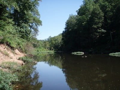
I followed my usual strategy and walked about a mile downstream with the plan of fishing my way back up. The trail on the south bank is well-defined and improved in several places with bridges spanning the deep gullies. Given the signs pointing to the streets associated with the development that borders the river, it’s clear that the community association spent some time improving the trails. Sadly, there was plenty of evidence of intense pressure as I looked at all the old bait containers, empty water bottles, and other trash that jerks left along the shore.
I continued downstream, looking for potential access points to wade into the river. Those were few and far between. I did climb out on some of the rock ledges that jutted into the river and was able to do a little bit of fly fishing near those locations. However, the river quickly gets too deep to wade if you venture far from the ledges. The other key feature I noted was that the banks on both sides were high. They range from 5 to 10 feet high. In my mind, this eliminated this stretch of the river as a fly fishing destination. Except for the few places where you can wade out on the rock ledges, you are stuck fishing from the bank, and the height and the dense vegetation limit my ability to cast. If I come back here, I’m to bring my spin gear.
Did I mention the crowds? Throughout this stretch, I encountered other people fishing in the river. This is probably the best-known unknown place in Northern Virginia. Without exception, they were all using bait — so maybe that’s the appropriate technique to apply to this part of the River.
Occoquan Fishing Bottom Line: At some point this next summer, I’m going to launch my canoe off of River Road and motor up under the Prince William Parkway to get back into this stretch.
My bet is that once you get a little bit farther down from where I ended my hike, there is no pressure and the fishing should be pretty good. Other than the access at Route 234, there is no other place between that road and the parkway where you can get onto the river. This limits access to canoes or to dedicated hikers who are willing to go even farther than I did. The trail did continue to the east from where I turned around, but I do not know where it leads or how much farther it goes. I looked at the satellite picture on Google and did not see any aerial evidence of the trail and there was certainly no evidence of any other public access. The area around the river is all built up and appears to be strictly private property.
Getting There: From Rt 234, turn onto Lake Jackson Drive (if you are coming from the south, it is the first right after you cross the river by the Dam). Turn right onto Sand Bridge Ct. Drive all the way to the end and there is a deadend where you can park at your own risk.
Google Local Coordinates: 38.705757,-77.445631
Secrets Revealed? Maybe, but not likely given the staggering volume of trash. This spot is just not documented on the web.
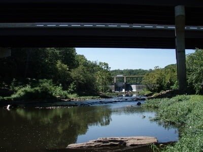
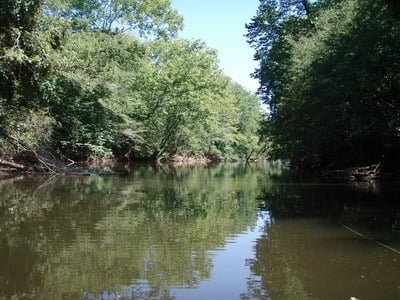
Looking up to the dam from the access point
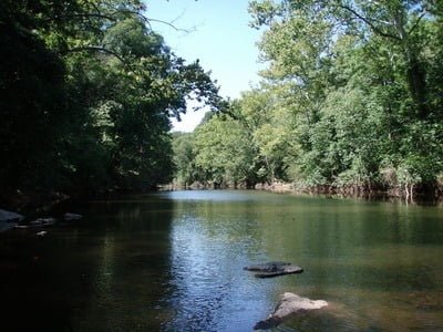
Downstream from the access point
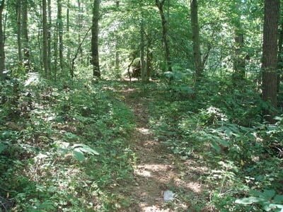
Trail to the river is easy to follow
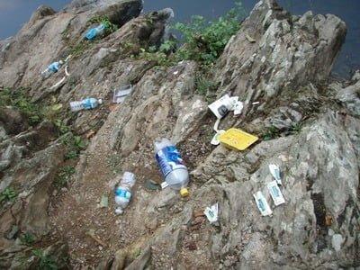
You will not be the first person here… geez. Slobs!
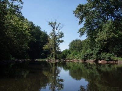
River immediately downstream of the first island
“Lake” area
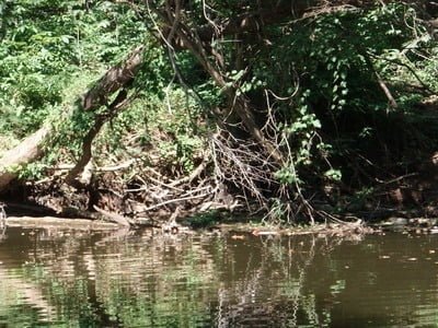
River is full of structure like this
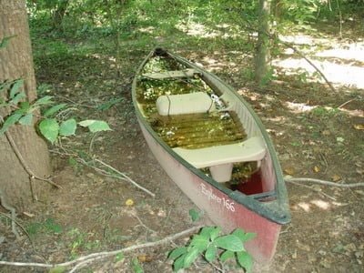
I wished I had a canoe for this section!
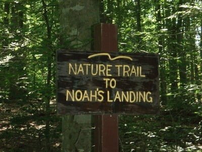
Leads to Noah’s Landing Ct – private property
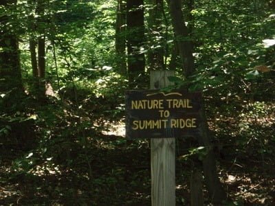
Leads to Summit Ridge Ct – private property
Looking upstream from the bottom point

Downstream from the bottom point
Unless stated otherwise, this article was authored by Steve Moore