In an earlier post, I discussed the section of Antietam Creek that runs through the small park. I think the park is the most heavily stocked section of this area. However, an access point downstream from the park prompted me to fish on this stretch. If you drive from the park, you come to a bridge where a feeder creek dumps into Antietam Creek. There is a little parking where you can leave your truck and wade into the creek. In addition to the small parking area down by the feeder creek bridge, there are two or three other turnoffs where you can pull off between the bridge and the park. Stopping at these requires that you bushwhack your way through the 10 yards of thick brush that lines the bank. A small fisherman’s trail runs along the east bank, but it is tight, and you will get your rod tangled in the overhanging limbs.
At the feeder creek access point, a nice but short stretch of water rolls out in front of you. The creek is at least 20 or 30 yards across and acceptably deep. As I waded upstream, the water typically came up to my thighs. There were deep spots randomly distributed throughout the stretch. I was here a few days after stocking, so the fish had had an opportunity to disperse. I was the only person fishing this section of the stream — everyone else was up in the park.
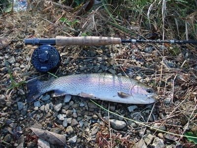
Since nothing was happening on top, I stuck with subsurface patterns as I fished upstream. I used a black woolly bugger and, of course, my favorite Patuxent Special. This section demonstrates that you need to fish someplace a few times to learn the water and understand where the fish will hold. Wading upstream, everything looked the same so I cast in random directions in a semi-circle to my front. There are some high points in the stream where the water bumps up over a broad rock structure. On this day, those proved to be the producing areas where I caught the fish below.
On the day I was here, I did not fish downstream from the feeder bridge, but the stocked area does stretch another couple hundred yards downstream. Given the tendency of stocked fish to swim downstream, that’s a likely spot to try on a subsequent visit. Overall, this section of the creek is not long enough to spend an entire day. If you come to fish Antietam Creek, you should plan fishing on Beaver Creek which is fairly close by. Finally, you can spend an hour or so up in the park itself, which, in my opinion, is the most heavily stocked body of water in Maryland.
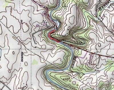
Antietam Creek Trout Fishing Bottom Line: I’m not a big fan of Antietam Creek because of the crowd that accumulates up in the park. I imagine that on a normal spring or early summer day, there is a significant spillover in pressure down to this section of the stream.
The stretch is so small that it will not support a large number of anglers visiting it in a short period of time. If you decide to fish Antietam Creek, be prepared with a backup plan to move over to the many sections on Beaver Creek where you can also fish.
Getting There: From I70, take exit 49 onto US 40 towards Braddock Heights. Stay on westbound US 40 for 12 miles and then turn left onto Lappans Road (MD 68). Follow it to the Antietam Creek Park (about 3 miles).
Google Local Coordinates: 39.537145,-77.712479
Secrets Revealed? No. This is a very public location that is documented in the Maryland DNR stocking plan.
Date Fished: 10/31/2008
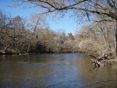
Upstream from entry point at bridge
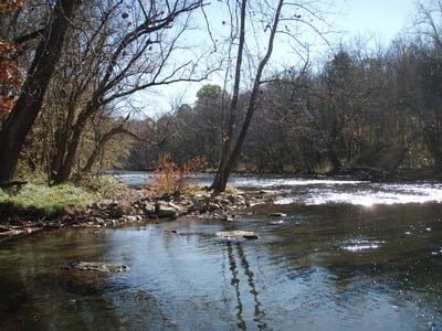
Downstream from entry point at bridge
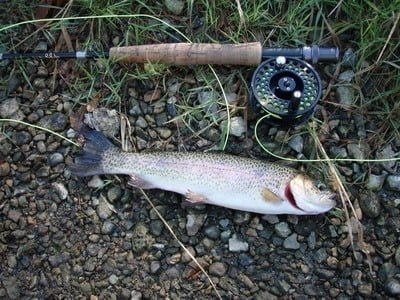
Maryland stocks some nice fish here!
Unless stated otherwise, this article was authored by Steve Moore


