I am amazed that this was the first time I drug myself down to Mossy Creek…. and horrified to learn what I was missing. While the eastern section discussed here is not worth the 3-hour drive, the other sections are. More about them later.
My strategy for the day was to start on the eastern section and work west. The parking lot is well marked at the intersection of Mossy Creek Road and Iron Works. I walked the short distance down to the stream and, given the existence of private property on the northern boundary, decided to fish from the southern bank. Within a few steps of leaving the road, I found myself in one of the densest tangles of sticker bushes and associated underbrush that I had ever encountered.
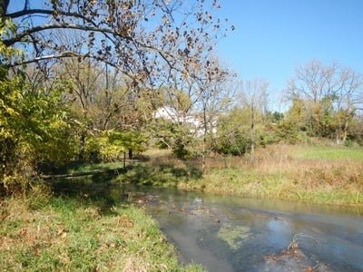
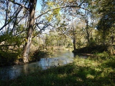
The trail, what there is of it, is narrow and faded. It quickly ends in a tangle of vegetation only to reemerge on the other side. I don’t know how most people get through here, but in the grassy sections where humans can eventually crawl up to the edge of the creek, the pounded path becomes distinct and indicates that, like the rest of the Creek, this section is heavily visited.At the first break in the wall of green, I picked up a small rainbow trout on my first cast. The water was running a milky color that helped my stealthy approach. The trees and assorted bushes clustered tight to the bank and stretched long waving fronds and branches out over the creek, making it difficult to cast. I was using my 13-foot Tenkara rod, and I wished I had brought its shorter companion. Eventually, I decided to stop fishing, since it was so difficult, and do a recon by walking to the end of the eastern section to check it out.
At the beginning of private property, I was halted cold because even though the section on the south is marked as publicly accessible, there is no way to get over the fences without climbing over them. Since the regulations indicate that access was only permissible at fence crossings, I decided not to proceed any further. I’ll have to check with the Mossy Creek Fly Fishing store to see what their solution is to gain access to the eastern end.
Bottom Line: Based on what I discovered in the other sections farther west, it wasn’t worth spending the time on the eastern end. There might be a gold mine at the far eastern portion of the Creek that may make a stop here worthwhile. But, I’ll have to figure that out on my next trip – from the satellite view on Google, it looks wonderfully open.
Google Local Coordinates: 38.357424,-79.031979
Secrets Revealed? No. This is a very public location that is documented in the following places:
Virginia VDGIF
Flyfisher’s Guide to Virginia
Virginia Trout Streams
Virginia Blue-Ribbon Streams
Fly Fishing Virginia
Tell a friend about this article by clicking on this link
Date Fished: 10/17/2012

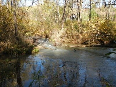
Tight fishing at the western end
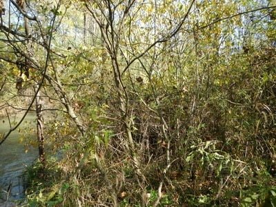
The tangle of brush is amazing!
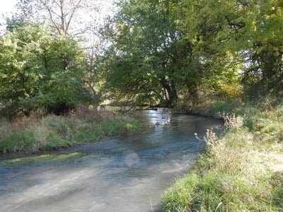
Breaks out every once and a while to open creek
Private property around the corner.
Unless stated otherwise, this article was authored by Steve Moore

