Laurel Run trickles into the Maury right next to the large rest area. It’s well marked, and I’m sure it draws a crowd.
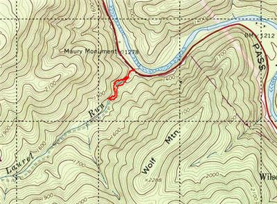
Based on the Flyfisher’s Guide to Virginia, I quickly ran up this small creek when I worked the lower section of the Maury in September. According to the guide, it “has a fair population of wild rainbows”. I saw one of those guys dashing for cover, and if he was typical, “small” is the keyword. There is a caveat. I worked right up from the road, jumping into the stream and fishing up. If you look at the map, you can see that there is an unimproved road that parallels the stream. While you cannot drive on it (it’s blocked), it may lead to better water up at the top. The guide indicates that there are some seasons when the gate is open. If you luck out and find yourself staring at an open gate, I recommend you do a drive by before you start walking.
I penetrated about 0.5 mile up before throwing in the towel and writing this off as a lost cause. The water is hardly there. As you can see from the pictures, it dribbles over some very pretty waterfalls to collect in a series of shallow pools. The pools are surrounded by tightly closed vegetation that only permits casting directly up or downstream with very small windows for roll casts to the sides. This may be the best place to get good at the “bow and arrow” cast around.
This is a physical stream if you work it. There are tight spaces to wiggle through and rocks to negotiate, all of which will put you in a pretty good sweat 100 yards in. The rocks must have been placed here by a sadist. They are just the right size and covered with just the right amount of moss to put you on your butt if you are not alert. Take a walking stick and use it!
I worked the stream with dry flies in a feeble attempt to match what I saw flitting around. I did have a take or two in the deeper of the shallow pools, but it was clear that these trout were all less than 5 inches… if that.
Laurel Run Trout Fishing Bottom Line: Not worth it. Even the Flyfisher’s Guide gives this brief coverage, and he’s usually pretty high on native trout fishing opportunities. Caveat! Maybe it gets better higher up….???
Getting There: Mapquest yourself to Rockbridge Baths, VA and then just follow Route 39 to the west. When you see the picnic area, pull off. Laurel is right across the street.
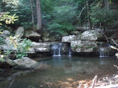
These pools are fairly close to the road and are probably full of swimmers in the summer
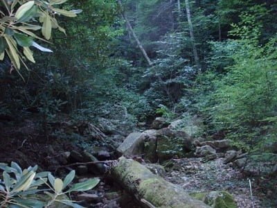
This is dense, rough walking!

It’s pretty. It’s also pretty shallow
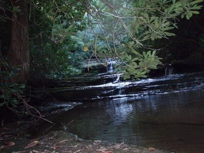
The waterfalls stair step up the side of the hill
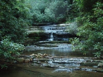
Shallow, shallow, shallow
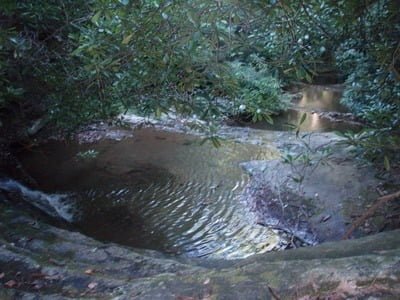
I can just see all the swimmers in my mind right now
Unless stated otherwise, this article was authored by Steve Moore

