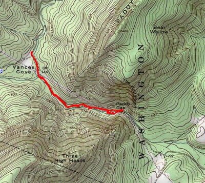
A few years ago, I visited Paddy Run by walking in from the lower end. With the warm weather right before Christmas, the fishing fever hit me pretty bad, and I decided to go out and find the upper entrance to this pristine stream. The turnoff is difficult to find unless you know where it is. It’s a nondescript gravel road that is not well-marked. I recommend you plug these GPS coordinates (39.09075,-78.49855) into your navigation system to locate the turn.
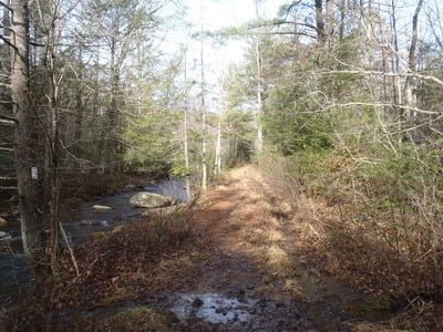
Once on the road, it’s an easy two-mile run down to the intersection that marks the start of the stream. A four-wheel-drive vehicle is not required. There’s a small parking area at the intersection, or you can continue to the right for a short distance and make a left into the other parking lot. Both options put you on the same stretch of the stream.
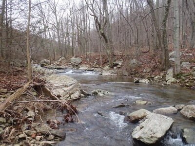
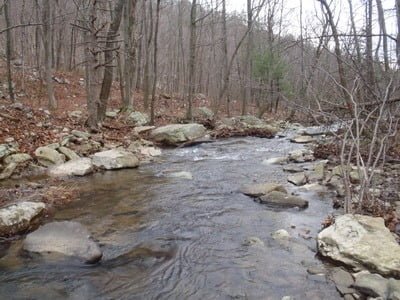
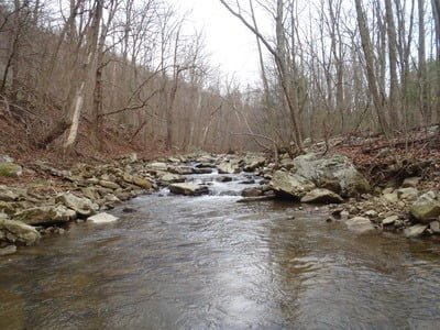
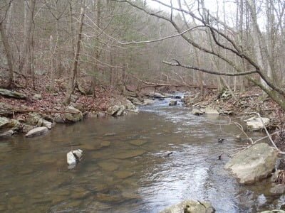
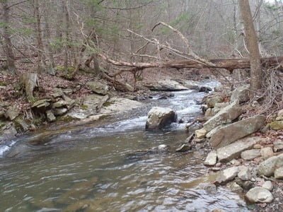
Paddy Run looks like a Blue Ridge stream. It runs through a sharp cut between two steep hills with plenty of plunge pools and rocks to provide scenic interest. In fact, it’s as if someone moved the Hughes or the Rose River, stocked it, and dropped it on the west side of the Shenandoah Valley. Unlike those two rivers, which require a hike to get the best water, with the road running adjacent to the stream, Paddy Run is an easy walk.
I walked a mile downstream to overlap the section I had seen earlier and fish my way back up the truck. As a result of the recent rains, the creek was running strong and full, with plenty of holes haunting me as I walked by. I remained resolute in my purpose and continued downstream for approximately 1.2 miles. At that point, I was near the lower stream crossing and could not stand it anymore anyway, so I wandered over to the stream and began to fish.
Even though the water looked great, whatever fish were left from the stocking a few weeks ago were not active or interested in the nymphs I was throwing at them. After all, the water was only 44°. There was a small hatch of minuscule stoneflies in progress while I was on the stream, but nothing rose to the surface in pursuit. Instead, I had to swat them away from my ears and eyes as I focused on the fishing. I worked it hard with prince nymphs, copper johns, and a few hares’ ears thrown in for good measure. I even threw in Adams, a humpy and Royal Wulff to make sure I offered the full menu. But, no joy except for the pleasure of being outside on a great day. While the day started cloudy, the midmorning sun broke through, warmed everything up, and gave me the perfect, sparkling vista to survey while I drank some hot coffee perched on a rock – lord of all I could see.
After fishing for a few hours, I decided to move on to the next adventure farther upstream.
Getting There: From I-81, take exit 296 for US-48/VA-55 toward Strasburg. Turn left on Paddys Cove Lane. The turn is about 13.3 miles from I-81
Google Local Coordinates: 39.080842,-78.504809
Secrets Revealed? No. This is a very public location that is documented in the Virginia VDGIF stocking plan and the
Flyfisher’s Guide to Virginia
Tell a friend about this article by clicking on this link
Date Fished: 12/22/2011
Unless stated otherwise, this article was authored by Steve Moore


