I really lucked out this last weekend. As a result of a last minute invite from Dick, I was able to whine my way out of the house to go trout fishing. We only had a 1/2 day, so we decided to head back to the White Oak Canyon area. The last time we were there, the Ranger told me that Cedar Run was fishable – new water!
We arrived around 0800 and were surprised to see two other cars already in the lot – could not tell if they carried hikers or fishers. After getting our gear on, we headed out and took the Cedar Run trail off the left. Immediately, we noted that the water flow was down, the volume in Cedar Run was pretty poor and it did not look good for this being a good idea. We followed the trail to the first place it crossed the stream. On the map you get from the Ranger, this is the 1st of 2 falls marked on it. You can use the word “falls” loosely – it’s really just a steep pitch that spits some water over the top.
The trail heads up the side of the mountain at this point – we were looking for fish, not hiking, so we headed up the stream bed. I was immediately struck at how tough the climbing was right from the get go (see below). In addition, after penetrating up about 25 yards, it did not look like it would be a good stretch – shallow, not much water – but there were at least two holes that looked fishable – I was here – so what the heck.
I called back down to Dick on the FRS radio and told him that it really looked lousy and recommended that he head over to White Oak. I would fish these two holes and then join him. Dick took off and I proceeded to work both spots.
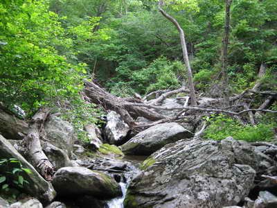
But.. things have a way of happening. At the end of the second hole, I thought I could see some more water up ahead. What the hell, I was already here and burning daylight. With the pressure of unknown water pushing me on, I continued to climb up the streambed. And it was a brutal climb as you can see from the pictures.
Headed up the stream and was pleasantly surprised to discover at least three more falls – one (shown below) actually lived up to that description. It was a splendid spot with very, very deep water. I would count to 10 and let my Panther Martins sink – twitch them a few times and then reel in. Laid into a real monster at the top falls but, being an amateur, he blasted away from me right at the bank.
At the top of the last falls, the stream looked very unproductive – low flow, small pools – so I bailed out. The Cedar Run trail is right next to the stream at this point, so I hopped on it and started walking back down. Wow – this is a tough trail. I was happy to walk down – not up. The pitch is very steep and the couple of hikers I saw were all hating life as they struggled up the grade. A quick look at the map above confirms that the contour lines are really close. This also says that you should not take the trail just to get to the nice falls – it’s a long walk just for one great spot.
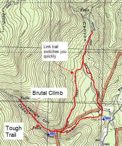
I cut over to White Oak on the well marked Link Trail (0.8mi) and spent another hour fishing the Oak. Not impressed this time. The flow over here is down and you could feel a sense that “it’s over” for the trout fishing in the Shenandoah for this season – it was June 10th – guess that’s why they sell the trout stamps from Oct – June 15. Without decent rain (and we had less than normal in May), the water just shuts down.
The few trout I caught were pretty listless – not much activity. Whereas I was pulling one or two out of every pool a month ago, now it was mostly none. I certainly hope that the Oak was not visited by “meat fishermen” who creel anything they catch and to hell with the next guy.
I linked up with Dick and we headed back to the truck to drive back to Manassas.
Getting there: Locate the town of Etlan on MapQuest – it’s on VA state route 231. Follow the signs for White Oak Canyon – From the north, turn right onto 643 and follow it until it deadends in a T-intersection. Turn right. Go about 3.6 miles or so and you should see the sign to turn left to enter the White Oak trailhead area. You will have to pay a fee to enter the park (recommend an annual pass as it is good for all entries).
From the ranger shack at the top of the parking lot, head to the northeast and you will pick up the White Oak Canyon Trail. Just follow the trail until you see a cement post – it will point the way to Cedar (take a left).
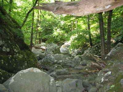
This is the scene you see ahead of you at the top of the first “falls”. Nothing great.
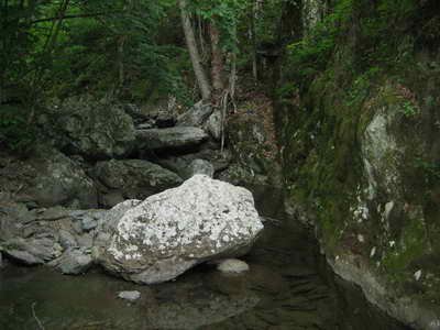
This was the first “fishable” hole I saw – it did not produce. Note how dark it was back here – there was no satelitte signal for the GPS most of the day as a result of the thick tree cover.
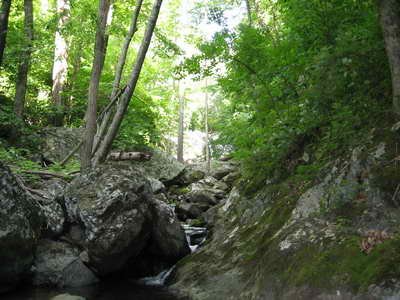
Second hole – fished it, got one guy and it looked interesting up ahead so I kept going.
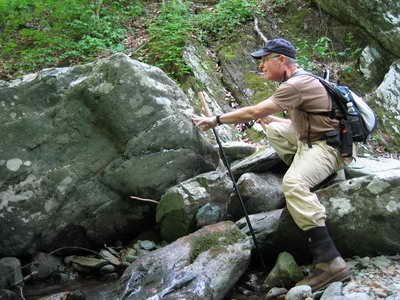
Your blogger sneaking up on the hole shown in the picture at the lower left – I always fish upstream as it is more natural for concealment – you can just poke your head and shoulders above the crest and hammer the trout.
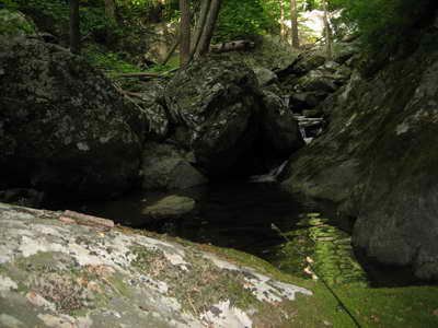
Another small hole on the Cedar
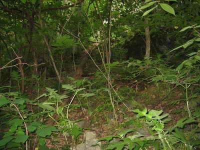
and then back to scrambling thru stuff like this to get to the next spot.
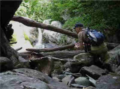
Bingo – first interesting spot. I snuck up with the video going and got a nice fish on the second cast.
After climbing to the top of this falls, I took a look back down the trail – as you can see – it is a maze of fallen timber and rocks
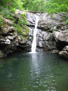
Any climb this bad had to have the pot of gold – and here it was. This is the second falls marked on the Ranger map. It is actually pretty tough to get to from the trail, so I am not sure it sees much swimming action – I laid into a monster here but he shook off at the bank – geez – he had to be at least 10 feet in length…
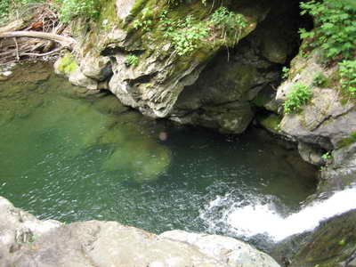
Looking down into the same hole from the top of the falls.
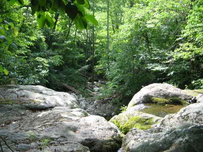
At the top of the falls, the picture to the right shows what the future has in store if you keep moving up the stream. In short, it turns into Jeremy’s Run – a stream I have a low opinion of.
There may be a good pool or two up above, but I was out of time with only a 1/2 day. Had to cut over to White Oak and link up with Dick.
Good news – the trail is visible to the west of the stream bed from here. You can scramble out of the ravine fairly easily and then walk back on the nice trail.
Unless stated otherwise, this article was authored by Steve Moore


