As a result of the late Fall disappearance of smallmouth in all the normal haunts, Lon and I were inflicted with a severe case of trout fever. The only way to cure it was to attack the Blue Ridge in a very physical way. I didn’t want to go back to the Doyles River or hike into the Rose River from Skyline Drive when there were other places I had not visited. Therefore, I did a map recon and determined that the South River was accessible from Skyline Drive. With that as the background, we swept up to the gate that marks the entrance to Skyline Drive early on a mid-October morning. After being a little bit stunned at the $15 entry fee to gain access to the Park, we turned left and drove the short distance up to the South River picnic area.
As soon as we set foot on the trail, the mantra that ran through my mind on the Doyles River hike begin looping back through my consciousness… “This is going to suck on the way back out.” The trail takes a precipitous drop down to the sharp cut that defines the South River streambed. From there, it parallels the skinny water up to an overlook that offers a spectacular view of the South River Falls. While we were initially discouraged by the skinny water along the trail, the Falls looked like it was full and vibrant as it dumped a torrent of water into a still pool at its base. At the same time, we anxiously peered over the lip of the rock wall that defined the overlook and realized that we had a long way to go to reach the river. In fact, it seemed far enough that parachute or a hang glider would be an appropriate way to get to the bottom.
We continued to follow the trail from the overlook and it eventually joined the South River fire road. The road is wide and well maintained and made for easy walking down to the valley floor. When we finally reconnected with the river, we decided to move downstream instead of up since it appeared that the going would be a little bit easier and the terrain hinted of more pools and fishable runs. The trail picks up on the other side of the river but quickly disappears beyond the marked border that denotes the boundary between the Rapidan wildlife management area and the Shenandoah National Park. We pressed on, bushwhacking through the tangled brush until we got approximately 3/4 of a mile downstream from the junction. At that point, we split up and began fishing upstream.
I have to admit that we were disappointed as we walked to the turnaround point where we would begin to fish our way back upstream. We would anxiously look over at the stream in hopes of seeing deep water and frequent pools such as exists on the Rose River or the upper Hughes. Sadly, these are few and far between. After starting fishing alongside the actual streambed (avoiding stepping in the water because of the impending spawn), I was totally bummed out. Most of the places that I fished were 3 to 4 foot wide spots with none of the runs between them being productive. We did pick up a few decent size brookies where we could find a pool that was the least 3 feet deep, but most of what we ran into were very small, four-inch long brook trout. In short, not a lot of payoff for the grueling hike to get here.
We decided to fish upstream from the junction to see if the water would be different and to determine if we could get to that tantalizing pool we saw from the overlook. As we staggered up the steep pitch to reach the falls, we were feeling fairly grizzled and manly that we were tough enough to deal with this hike at the ages of 58 and 57. Comments about fat classmates who let themselves go bounced back and forth between us. Well, the joke was on us! As I sweated up the last steep pitch to reach the base of the falls, I saw three elderly ladies arrayed around the pool taking pictures and chatting. So much for macho! Unfortunately, that pool was not the one we were targeting and I asked the ladies if they knew if the trail continued up and around the steep cliff that the secondary waterfall coursed over. One said that her daughter had literally climbed up the cliff earlier in the year to get to the top (another blow to my male ego), but did not recommend it as a sensible thing to do. I agreed and threw a few flies into the pool without producing any results.

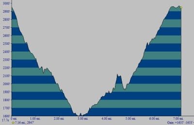
Lon I decided to call it a day at that point and began the long haul back out. The nominal length of the hike to the South River Falls and back is a little over 3.5 miles. In total, our trek spanned 7.1 miles and involved dealing with the loss and regain of elevation of 1635 feet. So, I guess doubling the length made us feel a little bit tougher, but I was still humbled to see the three ladies at the falls.
South River Trout Fishing Bottom Line: This place is not worth the hike. There are other better places where you can get both exercise and fish as opposed to just exercise.
Getting There: From US 33, get on Skyline Drive. After paying the entry fee, turn north and drive a few miles up to the South River Picnic area. The trailhead is near the restroom.
Secrets Revealed? No. This is a very public location that is documented in the following places:
Virginia VDGIF
Flyfisher’s Guide to Virginia
Tell a friend about this article by clicking on this link
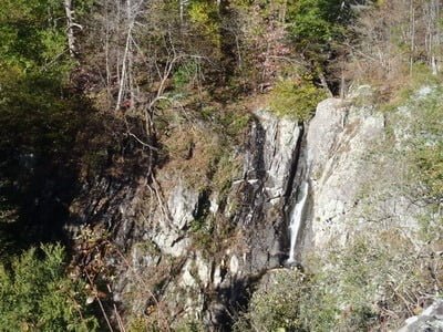
The falls from the overlook
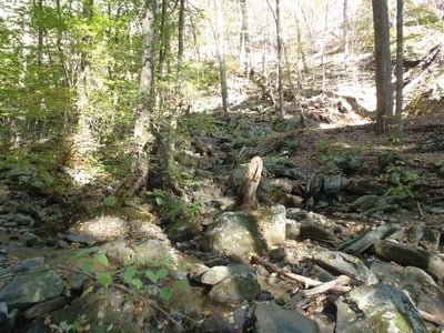
Stream at the junction
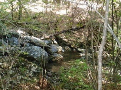
A few pools visible as we walked down from the junction
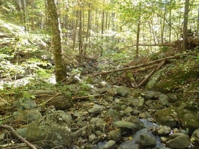
Mostly skinny water
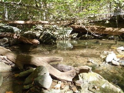
A good spot
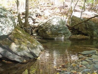
Another nice pool
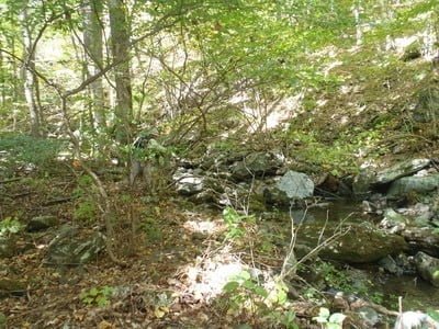
Lon working a small pool
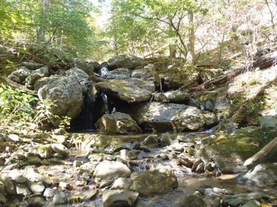
This is the best spot on the downstream stretch
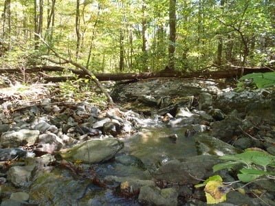
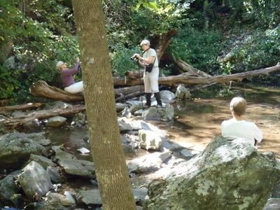
And…. the elderly ladies destroyed my macho day 🙂
Unless stated otherwise, this article was authored by Steve Moore


