

After fishing the Staunton River, I had a little extra time, so I wandered up the lower section of the Rapidan to see how it had changed since the last time I visited.
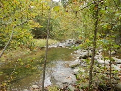
Even after the fairly dry summer, a decent amount of water was still tumbling down the gentle slope that led into the Graves Mill parking lot. Since I was not obsessed with fishing but more interested in looking, I wandered up the path with the idea of only fishing the best-looking spots.
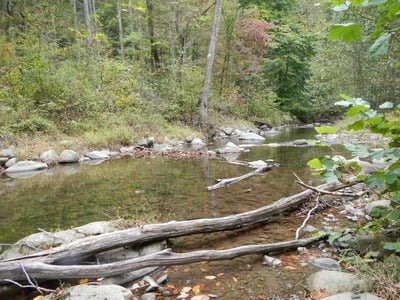
Even though there was plenty of water, I was reminded of how it disperses, at times, in multiple paths, fragmenting the ability to create good holding water. You can see that on the satellite view to the right. Note the multiple channels the river carved.
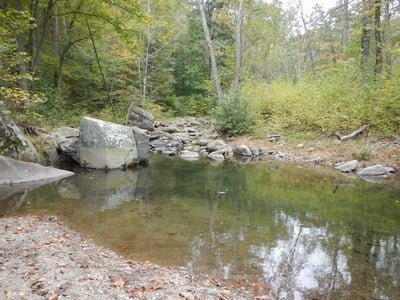
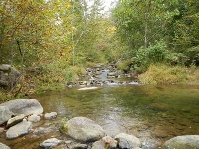
The few deep spots I found were not actually that deep—uniformly under a foot in depth. Eventually, I came to the one deep spot I remembered. As I stood back in the tree line, I could see large fish gliding through the water—perfect. What I could not tell was if they were trout or chubs, but I intended to find out.
I sank to my knees and moved up to the edge of the deep pool pictured below as quietly as possible. Despite many accurate, flawless casts (thanks to my Tenkara), these big guys demonstrated their intelligence by not rising to take my fly.. or streamer… or nymph.
Eventually, I gave up and consigned myself to pouring a hot cup of coffee, enjoying the view and being thankful that I can get outside for one last trip before winter locked me down.
Bottom Line: Given a choice, I’ll fish the Staunton over the lower section.
Google Local Coordinates: 38.444212,-78.368962
Secrets Revealed? No. This is a very public location that is documented in the following places:
Virginia VDGIF
Flyfisher’s Guide to Virginia
Virginia Trout Streams
Virginia Blue-Ribbon Streams
Fly Fishing Virginia
Tell a friend about this article by clicking on this link
Date Fished: 10/1/2012
Unless stated otherwise, this article was authored by Steve Moore