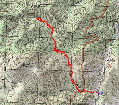
I left off the discussion of the Hazel River last year at about the two-mile point moving upriver. This year, I wanted to push up as far as possible for as long as the water looked good. My goal was to reach the small cave marked on the map. As you can see from the exact track on the map, I did not achieve that goal despite the 7.4-mile round-trip hike.
Once above the two-mile point, the water becomes low, and the deep fish-holding pools become scarce. The trail disappears as it moves away from the stream on either side to climb up the steep mountainside to take hikers all the way up to Skyline Drive. Anglers must be prepared for intense bushwhacking to move from place to place this far above the parking lot. There is no trail along the stream. To move farther upriver, be prepared to wind through the thick vegetation or stumble across the boulders in the stream channel.
The pictures below tell the story of the water. Not many good places to target, and unlike all the other enthusiastic reports I’ve read regarding highly successful Spring fishing excursions to the Blue Ridge, we were almost skunked on this trip. No 30 or 40 fish today on the Hazel! I think I caught two or three brookies and my fishing buddies did not do much better.
Ouch. It was a brilliant, sunny day with perfect conditions, and we exercised the appropriate amount of stealth as we moved from place to place. Despite emptying everything in our respective fly boxes, the fish grabs were few and far between.
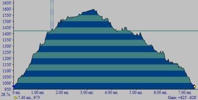
But despite that, the hike was invigorating, shaking out the cobwebs of the long winter and the frustrating, wet Spring that kept me indoors most of the time. To get to the turnaround point, note that you will experience a vertical gain of approximately 1600 feet. Thankfully, it is not in a single pitch but gradually over the course of the long hike.
Bottom line: Don’t bother fishing above the two-mile point. There is better water closer to the parking lot and given the amount of hiking just to reach the park entrance, this river does not see a significant amount of pressure.
Getting There: From Sperryville, VA, head southeast on US 522. Turn right onto Rt 231 south and follow it for 1.6 miles. Turn right on Rt 608 (Ashby Rd). At the “T” intersection, turn left on Rt 600 (Woodward) and follow it to the river. When you cross the bridge, look for parking.
Google Local Coordinates: 38.614976,-78.256624
Hazel River Trout Fishing Secrets Revealed? No. This is a very public location that is documented in the following places:
Virginia VDGIF
Virginia Trout Streams
Virginia Blue-Ribbon Streams
Fly Fishing Virginia
Tell a friend about this article by clicking on this link
Date Fished: 5/27/2011
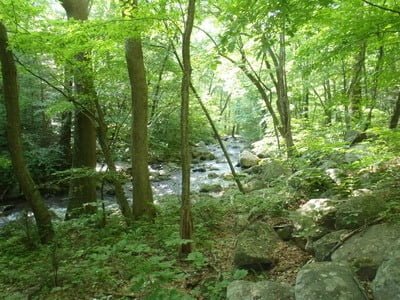
Water starts to get skinny the farther up you go
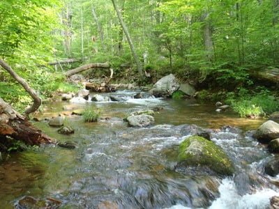
Intermittent deep spots near boulders and drops in elevation
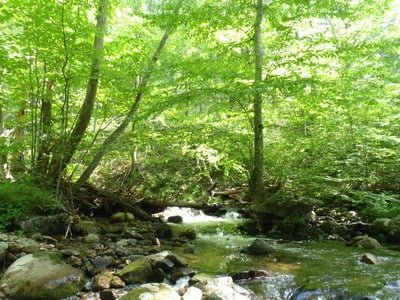
Many of those spots are protected by cover
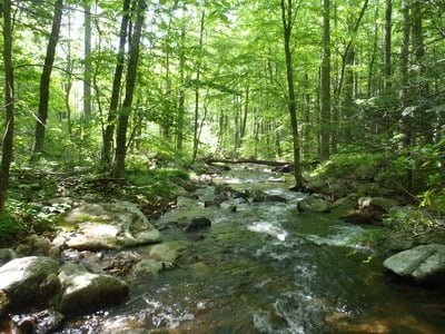
Followed by another long walk up shallow stretches
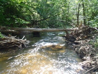
to find the next fishable hole
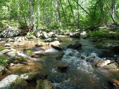
At the upper end, the water is very scarce and shallow
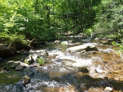
Long walks… no trail… dancing over the channel
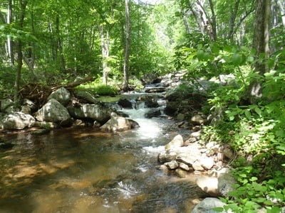
To eventually find a rare deep spot.
Unless stated otherwise, this article was authored by Steve Moore

