Another weekend with all of the prime smallmouth rivers in Northern Virginia totally blown out. I had thought I was done with mountain trout fishing on my last trip when I visited the Hughes River. But given the state of the big rivers, I pointed my truck at the mountains again this last weekend. I had read about the Devil’s Ditch in a number of the references and was curious to see if it would be as productive as some of the other mountain streams in the Park.
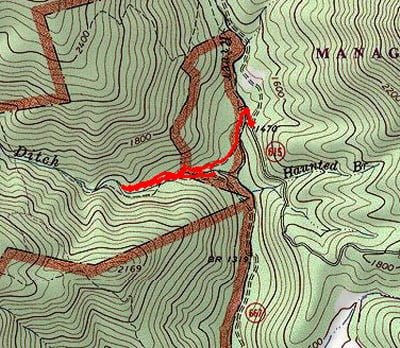
Getting there was a little bit of a challenge as you have to be familiar with the map to understand where to park when you drive over the mountain. If you follow my footsteps, pay close attention to the map at the right. Basically, once you drive down the mountain, you go across a small creek at a sharp turn in the road. Proceed down the road another half mile or so and you will see a faint road leading off to the left towards the river. If you have your windows down, you will also hear the roar of the river if there is enough water to produce a decent volume of sound. That river is the Conway River and the Devils ditch is a major tributary to it. Park at the junction of the small offshoot and walk down it to the edge of the Conway. You have to be very careful as you climb down the steep cliff face that protects the river. It may be easier to go to the left, cross country, than go down the road. I went down the road. Once you cross the Conway, climb up the other bank and within 10 to 20 feet you will encounter an old road that is the main path you need to follow.
Walk south on the path and it eventually crosses Devils Ditch. You have two choices at this point. You can either start fishing up Devils Ditch right there or you can walk a little bit farther and hang a right on another old road that will intersect Devils Ditch higher up without having to survive the agony of the tough bushwhacking to get to that same location. I did not discover this other access point until I was on the way down and stumbled across the road higher up the mountain. If I had to do this over again, I would take that second choice to put more distance between myself and the main path and my perception of pressure.
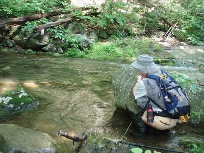
Fishing this stream demands hard-core bushwhacking! It was great! There is no path next to the stream. You are literally crawling over and under trees, around rocks and sloshing through the water when there is no other choice. Devils Ditch was running at 56° and was full of water as a result of the recent rains. This made it a little bit challenging to flip the fly as it would be quickly washed downstream. However, the small brook trout that inhabit this water are quick to react to anything that floats by on top. I had good success picking up the small brookies on anything that had plenty of hackle that would allow it to float high above the turbulent water. In particular, Mr. Rapidan, mosquitoes, and large attractors all worked in sizes 12 to 16.
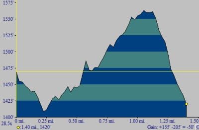
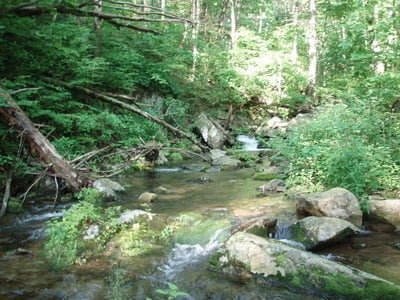
This is classic mountain pocket water! You’ll bushwhack from pool to pool as you work your way up the slope. Thankfully, it is not that steep — it’s just tough to negotiate given the sharp, steep canyon that the creek runs through. But it’s easy to work around that if you walk a little bit away from the creek and then return. At my turnaround point about a mile from the truck, I could look up and see a stairstep of pools as the creek went through a high gradient section. Since I had other places I want to fish on this day, I decided that a mile into the Ditch was enough – but I suspect there is plenty of good water upstream from where I stopped.
Devil’s Ditch Trout Fishing Bottom line: The Devils Ditch is a nice little stream. I’m sure the water level gets very low in the height of the summer and if you decide to fish here I recommend you do it soon before the water level drops and warms up. When the flow gets low, the fish go slow! That’s when we should leave them alone.
Date Fished: 06/07/2009
Getting There: From Rt 29, turn west onto Rt 230. Follow Rt 230 to 662 and follow it to the right. It will take you to Graves Mill where you can access the lower Rapidan. Bear left on 615 and follow it over the mountain.
Google Local Coordinates: 38.432615,-78.433714
Secrets Revealed? No. This is a very public location that is documented in the following places:
Virginia VDGIF
Flyfisher’s Guide to Virginia
Virginia Trout Streams
Virginia Blue-Ribbon Streams
Fly Fishing Virginia
Tell a friend about this article by clicking on this link
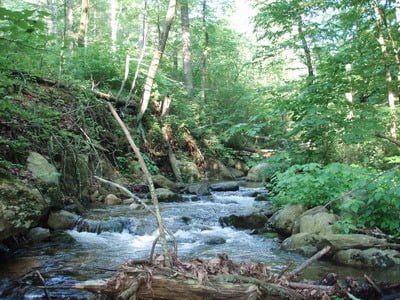
Upstream from the start point
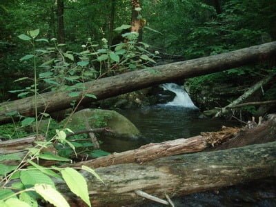
Typical hidden pool
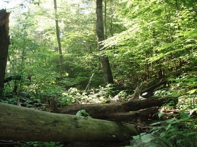
Nothing but brush! Bushwhacking!
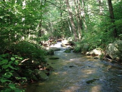
At high flow, these runs are productive
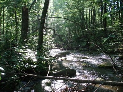
Morning sun in the mountains!
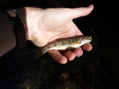
Plenty of these little guys add to the fun
You must sneak and peak!
Unless stated otherwise, this article was authored by Steve Moore


