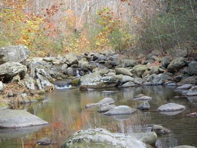
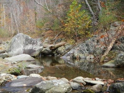
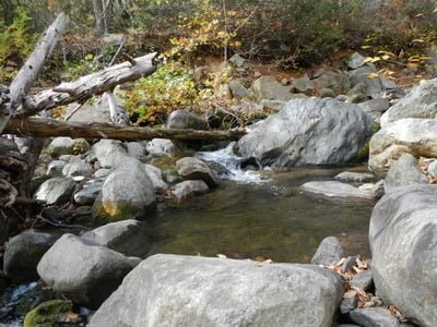
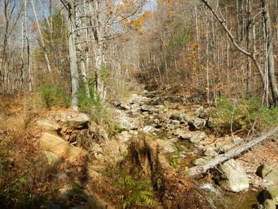
Has it been over two years since I fished the middle section of the Conway? Far too long! As a result of parking restrictions at the lower end of the river, the only access is via the dirt road that bumps over the mountain from the lower Rapidan access point at Graves Mill. Since my last visit, I was happy to see the road appeared to be graded and was easily accessible by vehicles without a high clearance. Lon and I pulled into the parking area (you can miss it if you’re not alert) and decided to follow the old road that parallels the river on its western bank to the lower end of public property and fish upstream. This gave us the opportunity to scout the river on the way down – something that is easy in the fall when the leaves are off the trees.
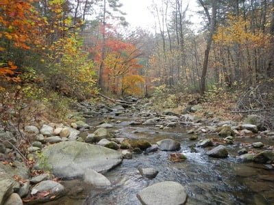
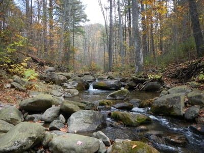
We were happy to see plenty of water after the recent rains. Even Devils Ditch looked full of water as we crossed it en route to the lower boundary. After identifying some shallow running sections, we split up, hopped in the river, and began fishing upstream. Immediately, there was surface activity on the small flies we were using. Unfortunately, they were from small minnows and not brookies. There were deeper pools distributed across the section, but surprisingly, most of them were unproductive.
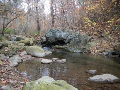
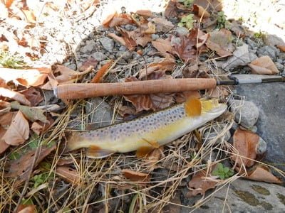
It was not until we reached the section that stretches from just below the confluence of Devils Ditch up to the parking area that we began to catch fish. In fact, the trophy shown below was pulled out of a pool in this area. Regarding the physical challenge, the walking was not as tough, and the climbing was not as intense as it is on the Rose River. On the Conway, you can always climb up the steep bank and return to the old road to move from spot to spot.
We spent a full day fishing this stretch and, frankly, were disappointed in the catch rate. Other than the big guy shown below, I only picked up one other small brookie. I did see a few others scooting around, but they were not interested in what I had to offer. In terms of density compared to my last visit back in 2009, no comparison. However, I believe the drought over the last couple years has severely impacted the brook trout population in many of the smaller streams. With time and favorable conditions, I am hopeful that the population will rebound to the point there are decent numbers of catchable fish.
Bottom Line: Always scenic, always calming. It will be worth a visit again in the spring to assess whether the bad luck we experienced was an aberration or an expectation until the population rebounds from several years of low water.
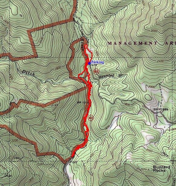
Google Local Coordinates: 38.432346,-78.433728
Secrets Revealed? No. This is a very public location that is documented in the following places:
Virginia VDGIF
Flyfisher’s Guide to Virginia
Virginia Trout Streams
Virginia Blue-Ribbon Streams
Tell a friend about this article by clicking on this link
Date Fished: 10/24/2012 – the water levels have changed since then – see here.
Unless stated otherwise, this article was authored by Steve Moore


