For the last two years, I religiously obtained a special permit to fish the new South River special regulation area. Somehow, I never found the time to drive the two and half hours from Northern Virginia to fish this interesting section of the South River. Recently, I found the time, and I regret not going sooner!
There is plenty of parking for angler access to the South River special area. However, based on the vagaries of landowner permission, you must pay special attention to the map posted in the kiosk at each parking area. You are only permitted access as indicated on the map. Basically, there are off-limits areas and sections where you may only walk on one of the two banks or are forced into the river and only wade. Two net it out; there is no good shoreline fishing – be prepared to get in the water. On the day I fished, I decided to hit the east parking lot and the western parking lot. I’ll discuss what I found in the west in a different post.
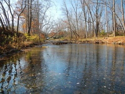
I pulled off the highway and drove the short distance to the eastern parking area. You need to be alert or you will drive right by it. It’s at the bend in the road and appears to be a private parking lot next to a huge stack of cut wood. But the kiosk is there, and the small signs indicating where the angler trail is are also visible. I walked across the wooden plank bridge and headed to the river that parallels a large field. Walking immediately adjacent to the river is impossible due to the thick brush on the high bank.
Your options are to get into the river or walk down the edge of the field, periodically peering at the water below to decide where to enter. At irregular intervals, “angler trail” signs are posted that mark the most common access points. I chose to walk all the way up to the area near Back Creek and fish downstream (note that there is a section above Back Creek that is totally off-limits and marks the end of your fishing opportunity from this parking lot).
My strategy for the day was to fish downstream, flipping woolly buggers across the current and allowing them to drift with the current while twitching. In my walk up to the entry point, I noted that the deep water appeared on the southern bank – something that made the strategy appropriate since I am right-handed, and it would be easier to cast from the northern bank.
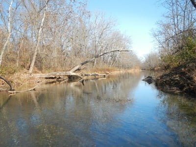
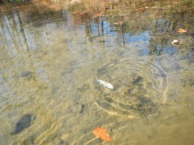
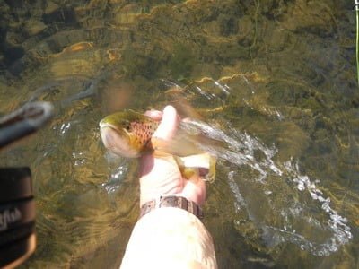
Within my first few casts, I landed a nice 10-inch rainbow. I worked a little bit farther downstream and discovered a deeper rocky run tucked up under the southern bank. I spent the next three hours fishing the next 50 yards. The reason for the extended time was the fishing was fantastic! I tied into at least two large trout, but both threw my barbless hook. However, plenty of other 10 to 13 inch rainbows and brookies could hang on until I could safely release them back into the current. Wow! Maybe I was here on the exact right day, maybe I chose the right fly, maybe the barometric pressure and other environmental factors were perfect, but I was not complaining!
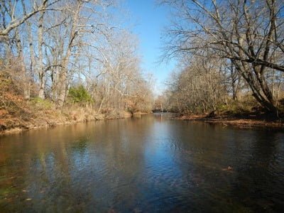
The river is deceptive as result of the crystal clarity. Some areas that appeared to be very shallow were actually several feet deep. I did not catch anything in the shallow sections, but there seem to be plenty of decent size fish wherever the water had cut a deeper run. The bottom of the stream in the really shallow sections was uniformly coated with a slippery algae. However, I did not encounter any problems picking up scum as I stripped my bugger back.
Since I wanted to fish the western section, I eventually resolved that I had to climb back out of the river and head to the other parking lot. On my way back to the truck, I continued to look at the river and was able to see other trout, some large, moving in the water below. It took all of my self-discipline not to slide back down the steep bank and continue to fish this section.
I chose to fish upstream from the parking lot, but there is a wading only section for approximately 1/2 mile downstream. There is no bank access – you are in the water – but this might be the best section to fish as a result of that physical challenge. If I get back here, that will be the place I fish next.
Bottom line: Get your permit online! Fishing this section of the river requires you obtain a free permit from the VDGIF. You can get it at this link. It also covers Mossy Creek and Buffalo Creek.
Google Local Coordinates: 38.042988,-78.92559
Secrets Revealed? No. This is a very public location that is documented on the Virginia VDGIF website.
Tell a friend about this article by clicking on this link

Unless stated otherwise, this article was authored by Steve Moore


