The Mill Creek Trail area offers three different fishing opportunities. You can fish the stocked creek that belches from the base of the reservoir. You can fish the reservoir itself or work up the wild trout stream that feeds into the head of the reservoir. All three locations are listed on the VDGIF trout map for Area 2. Since the stocked stream was the first stretch of water I encountered, I decided to fish it first and that is what I will discuss in this report.
As you drive along Coal Road, you have to be alert or you may miss the entrance to Mills Creek Trail. Although road is improved, it is behind a small ridge that supports a campground and, if you’re moving fast, you’ll blast right by. There is parking for one truck at the turnout at the trail head and other parking in the immediate vicinity across the street as well as in the campground. Having done a map recon, I knew I was in for a hike, but I did not anticipate the brutal scrub growth I would encounter on the well protected Mills Creek. I had done the stocking calculus prior to arrival and concluded that there were two likely places for the fisheries folks to stock Mills Creek. They could drive up to the dam and dump fish into the creek at the headwater or they could insert at the lower end of the stocked section where it crosses Coal Road. There’s another road that leads to the creek, but I would later determine that it was blocked with fallen trees and would not be accessible to the stock truck from the West (they might be able to get in from the East). Therefore, I hit the road to walk 1.4 miles to the base of the dam.
As I got organized standing next to the concrete bunker at the dam, I was happy to see plenty of water gushing out. The creek itself is narrow — about 20 feet wide — and very shallow. It had a rocky bottom with no large boulders; mostly cobble and small rocks. Not having any intelligence on which side would be the easier, I started to walk down the right side of the creek looking for what I hoped would be an inevitable pool. No luck there! The creek maintained a moderate gradient in a straight line that eliminated the possibility for water to collect in pools carved out at the bends. In addition, there was no pocket water because the stream did not make any abrupt changes in elevation.
I eventually found a few places where the water did collect in a slight bend to the form a deeper spot. Unfortunately, each of these was well protected by overhanging trees, bushes and clinging vines. There was no way I could get a fly or even a spinner into any of those locations. Disappointed, I assumed that it would get better the farther I went downstream as the water leveled out in the valley. This was not to be. The dense, prickly bushes and thick saplings protected the creek all the way down to my turn point. On those occasions when I poked my head back to the creek to see if it presented a better target, the creek maintained its boring, narrow and shallow course over what continued to be an extremely rocky and gravelly stream bottom.

I finally got my answer on whether there were any fish here in the one place where I was able to flip a fly into a small pool. A small fish came up to grab the black fly I was using, but was too small to get a hookup. At least I got a hint of action. I continued farther downstream, ever hopeful I would encounter better water. The terrain remained unchanged. When I looked at the map, I decided to quit beating myself up and work my way down to where an improved road crossed the stream and follow that back to the road without having to bushwhack through the thick undergrowth. I was absolutely whipped from bushwhacking my way down from the dam and did not relish the prospect of a mile walk through pricker bushes to return to Coal Road. The trail finally heaved into view at a deeper spot in the creek. I fished the crossing and I stirred up one small fish — did not catch it — but nothing else. Totally bummed out from this experience, I cut onto the road and made my way back to the truck.
Mills Creek Trout Fishing Bottom Line: What a brutal hike! My assumption is that since the water is marked on the trout map and pops up on the stocking schedule, the fisheries department inserts a decent number of trout into the stream. I’ll guarantee you that they are probably still there given the difficulty in fishing this tough water. BTW… you could use a bike here instead of hiking.
Getting There: From I-64, take exit onto S Delphine Ave/Rt- 624 south. Turn left onto Mt Torry Road (Rt 664). Follow 664 to Coal Road. Turn right on Coal Road and follow it for 1.5 miles to the intersection with Mills Creek Trail.
Google Local Coordinates: 37.969711,-78.986163
Secrets Revealed? No. This is a very public location that is documented in the following places:
Virginia VDGIF
Flyfisher’s Guide to Virginia
Date Fished: 4/5/2010
Tell a friend about this article by clicking on this link
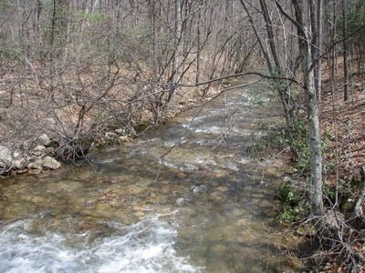
View downstream from the dam
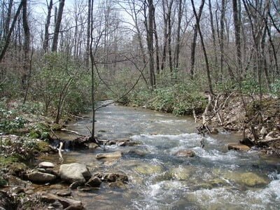
Note brush on banks and shallow, fast water
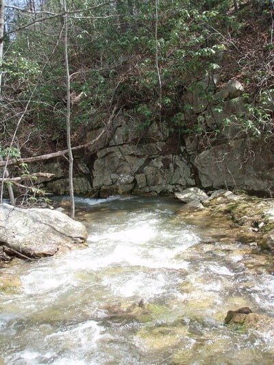
Only scenic spot…
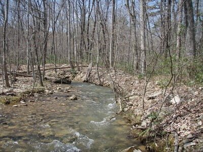
Water continues shallow and fast even at the crossing at Coal Road
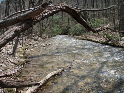
Shallow…
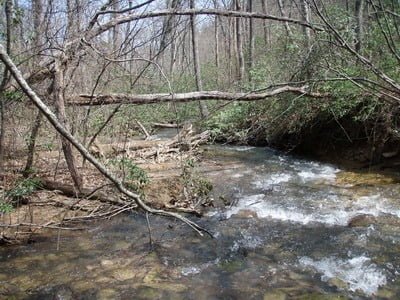
Shallow…
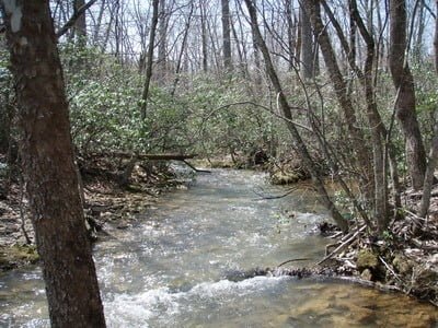
Look at that brush!
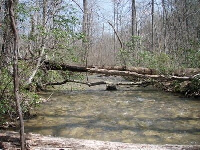
Downstream from intersection with the lower road
Unless stated otherwise, this article was authored by Steve Moore


