Approximate Boundary: 39.664811,-79.407126 to 39.674229,-79.391264 (1.8 miles)
DNR Guidance: Below Friendsville from site 50 yards downstream of Maple Street (at the confluence of Minnow Run) downstream to the gas-line crossing upstream of Youghiogheny Reservoir.
In addition to catching trout, you can also pick up walleye and smallmouth bass, making this a year-round fishing destination. Although the delayed harvest section starts north of Maple Street at the west edge of town, private property borders the river until it runs adjacent to the Friendsville Community Park. There is plenty of easy access, to include a canoe launch, from the park. In addition, you can drive east on the dirt road through the South Selbysport Access Area to continue downriver.
The two choices for fishing are driven by the presence of the large island dividing the river at the east end of the park. Unless you are willing to walk or drive another 1,500 feet to the east to rejoin the mainstem of the river, a quick, good option is to begin fishing in either direction from the park itself.
To move downstream, leverage the access the Corps of Engineers granted Maryland and bump down the dirt road all the way to the end. As you drive, observe the river to the left and pick your spot carefully. Initially, the bank is treacherously high, making the descent to the river’s edge problematic. Eventually, the road edges closer to the river and access is not an issue. The river continues to offer up ideal fish holding structure. While the amount of sand grows the farther downstream the river runs, there are still plenty of rocks and boulders clogging the riverbed.
The dramatic width of several hundred feet adds to the excitement since it is impossible to feel pressured on a river this large. At normal water levels, the current runs slow. However, the high water marks staining the trees confirm that the river routinely overflows its banks and turns the road into a muddy mess that may be difficult for vehicles without four-wheel-drive to traverse. Those high water marks also scream caution – wear a PFD!
If you decide to stop at one of the small turnoffs chipped out of the rocky hill, be sure to leave the road open to allow others to pass. In fact, do not bother to park and fish until you are beyond the tip of the large island (39.66686,-79.39315) that divides the river unless you really want to fish the sideshow instead of the mainstem.
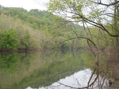
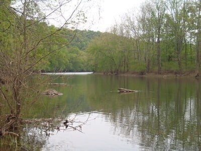
For those who like to fish using a canoe or kayak, there is an informal put-in/take-out at the power line easement that is only about a mile downstream from the canoe launch in the park. If you have a bike, you can do a self shuttle. Leave your bike at the take-out and use it to ride back to your vehicle when done fishing.
Getting There: East: From I-68, take exit 4. Turn right on Maple Street. Turn left on 2nd Avenue. Turn into the Friendsville Community Park using Old River Road.
South: From I-68, take exit 4 to merge onto MD 42. Turn left onto 1st Avenue. Turn right onto Park Street. Turn left onto 2nd Avenue. Use Old River Road to enter the Friendsville Community Park.
Access Point:
· Friendsville Community Park boat launch (39.66844,-79.398972)
· Various turnouts on the dirt track that parallels the river with the main ones being at 39.67419,-79.39071, 39.67262,-79.39059, 39.66886,-79.39104, 39.66686,-79.39315
Secrets Revealed? No. This is a very public location that is documented in the Maryland DNR stocking plan.
Tell a friend about this article by clicking on this link

Access road
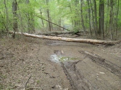
End of the line
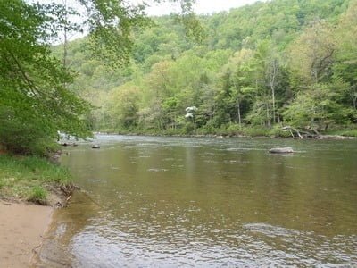
Put in at the Park
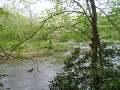
Tip of the island downstream
Powerline area
Powerline area
Unless stated otherwise, this article was authored by Steve Moore

