Approximate Boundary: 39.642694,-79.021443 to 39.66455,-79.028546 (1.71 miles)
Go through the gated entrance; it should be open during the day. Do not drive any farther than the parking lot unless you want to go to the Savage River Lodge. There are no other turnoffs or parking areas along the road. The Savage River Lodge sits at the summit of Mount Aetna and is one of the area’s premier recreational destinations. It has comfortable accommodations, plenty of year-round activities, and gourmet food and wine.
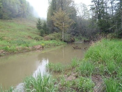
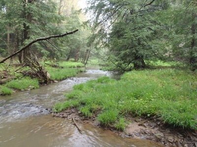
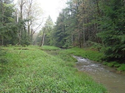
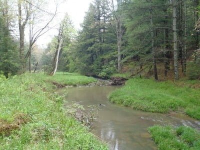
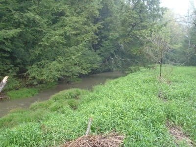
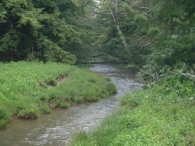
Mudlick Run is a small trout stream that winds its way through a series of beaver ponds (39.648372,-79.028988 and 39.643635,-79.023109) to eventually contribute its flow to the headwaters of the Savage River. From the parking lot, follow the Mount Aetna loop trail (red trail) to the left. It parallels Mudlick Run until it turns to the right near 39.656229,-79.028929 to circle around the top of the mountain to return to the parking lot. The trail provides an easy way to make big moves from place to place. However, once you begin fishing, it is easier to leave the stream and wander through the prolific explosion of tall grass near the water to jump to another spot.
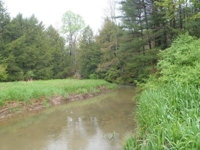
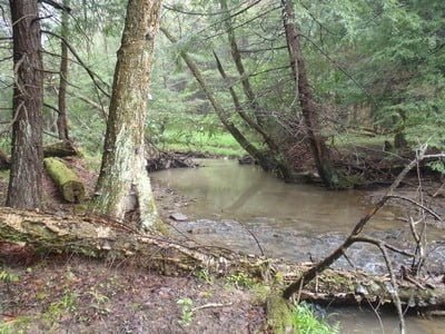
The stream is scenic, with tall trees framing uncongested banks to provide a relaxing mountain fishing experience. The deep sections are usually where the stream bends its way through a curve or enters a small gradient break to dump into a larger downstream pool. Additional deep spots where the water gouged around rocks or fallen trees. The bottom is a mix of mud, sand, and rocks. As with any mountain venue, there are places where the fishing becomes technical, with overreaching branches and bushes providing protective cover for the skittish trout.
Directions: From I-68, take exit 29 for MD 546 south toward Finzel. Turn right on Old Frostburg Road and make a left onto Frostburg Road at the fork. Turn right on Mt Aetna Road and drive through the gate. Follow the road across the headwaters of the Savage River to the parking lot immediately north of the bridge.
Access Point: Parking lot near the Savage River (39.643631,-79.020045)
Secrets Revealed? No. This is a very public location that is documented in the Aetna Track map.
Tell a friend about this article by clicking on this link
Unless stated otherwise, this article was authored by Steve Moore


