A few years ago, I spoke with one of the guides from the WISP Resort about the zero-creel fishing around the Savage River Reservoir. He circled a few recommended streams on the map. Monroe Run was one of these. Based on that recommendation, I was optimistic for some pretty decent brookie fishing.
Maybe it was the end of summer low-water, or maybe it was the large campground at the base of the stream, but I was not impressed with what I discovered when I pulled in late on Sunday afternoon. Granted, I had no expectations of decent flow this late in the summer, but I did expect to find scattered community pools holding decent numbers of Trout.
I walked three-quarters of a mile upstream from the trailhead without discovering any substantial holding habitat. This is probably due to the fact that the stream runs through a flat valley—something not conducive to creating pools. There are no small waterfalls or other features to provide logical collection points and holding areas.
Doing some quick math, the stream drops only 545 feet between its intersections with Big Run Road and the sharp turn it takes to the south 3 1/2 miles later. The good news is that there is a well-defined and easy-walking trail that generally parallels the stream throughout its entire length. The trail is not adjacent to the stream, so you must walk over to check out the water. Therefore, the trail only becomes an advantage for your return since you must be next to the stream to find the scattered holding positions.
Frankly, after seeing the water quality, I wasn’t very motivated to do much fishing. I did flip my fly in the two holding positions I discovered and picked up one small brookie, but nothing to write home about… although I guess anything is something to blog about.
Bottom Line: With so much other better water in the Savage River area, I don’t think I will return to this particular location.
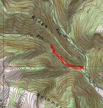
Getting There: From Westernport, take MD 135 west towards Bloomington. Turn right onto Savage River Road. Turn left on Big Run Road. Follow the road until you see the sign for Monroe Run trial. The stream is about 50 yards north of the sign.
Google Local Coordinates: 39.549026,-79.145082
Secrets Revealed? No. This is a very public location that is documented in the 2006 Brook Trout Management Plan
Tell a friend about this article by clicking on this link
Date Fished: 9/9/2012
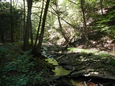
Skinny, late summer flow
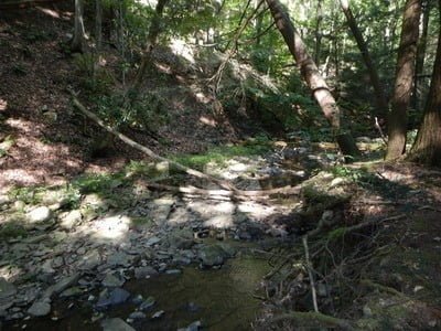
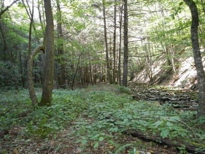
Pretty open next to the stream
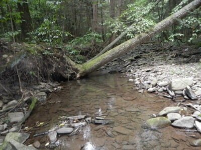
Typical holding position
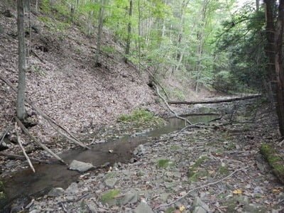
Flat, low gradient streambed
Unless stated otherwise, this article was authored by Steve Moore

