Approximate Boundary: 39.523078,-79.144485 to 39.537278,-79.158347 (1.76 miles)
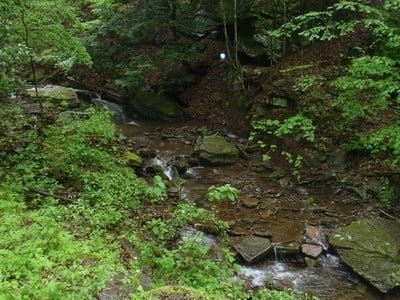
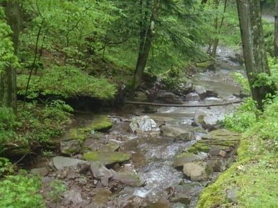
Dry Run drops 670 feet into the gash between Solomon Ridge and Mount Nebo. The stark terrain creates an abrupt canyon that squeezes the creek and the road beside it into a tight, thin line with limited parking. Other than at the confluence with the Savage River Reservoir, the only convenient turnoff is at 39.52355,-79.14719, merely 500 feet from the intersection with Savage River Road. In fact, once past 39.52488,-79.15022, the road rises sharply to claw its way along the southern hillside, moving far away from the valley floor and the trickling creek below.
While the creek remains fishable upstream from that point, it is up to you to decide how much sweat to invest to find the widely distributed pools. In the lower reaches, the creek ranges up to ten feet wide, compressing to a small dribble no more than two feet across in the higher elevations. The water runs across a freestone bottom flecked with large rocks surrounded by cobble.
Access Point: Single turnoff on Dry Run Road (39.52355,-79.14719)
Getting There: From Westernport, take MD 135 west towards Bloomington. Turn right onto Savage River Road. Turn left onto Dry Run Road.
Secrets Revealed? No. This is a very public location that is documented in Maryland DNR
Tell a friend about this article by clicking on this link


Unless stated otherwise, this article was authored by Steve Moore


