Approximate Boundary:
Main Pond: 38.565224,-77.08133 38.566331,-77.076952
Secondary Pond: 38.55774,-77.072103 38.558949,-77.073562
The Myrtle Grove Wildlife Management area is a 1,723-acre preserve located in the heart of Charles County. It contains a mixture of wetlands and hardwood forests consisting of oaks, hickories, maples, and numerous other tree species. In short, it is a wonderful island of wilderness, protected by a rural area, that deserves a trip. While there are plenty of other things to see and do in the WMA, such as hiking trails and a shooting range, there are two ponds for anglers. The main pond is a 23-acre lake while the secondary pond is smaller – only 10 acres.
There is plenty of parking at the edge of the lake with easy access along the western shoreline. On that side of the lake, there is a built-up berm that holds the water. A gate to restrict vehicular travel protects the berm from vehicles, but you can use it to walk around the perimeter. Wandering to the east, the path leads to the wetland that marks the right-hand boundary of the lake. During the trout stocking season, the shoreline will not be empty. On the busiest days, plenty of anglers take advantage of the 2,000 fish that the DNR inserts in the two ponds. The heaviest population of anglers speckles the western shoreline, taking advantage of the smooth trail along the top of the berm to reach their favorite fishing location. Aggressive hikers can attack the lake from the eastern shoreline, with the easiest access being to walk all the way around the lake on the berm instead of trying to fight through the wetland to the east.
Do not limit visits to the trout season since both bodies contain bass, pickerel, bluegills, and catfish.
Getting There:
North: From I-95/I-495 take exit 3 onto MD 3 South toward Indianhead. Turn left on MD 225/Hawthorne Road and follow it approximately 5 miles to the entrance to the wildlife management area. The left turn into the WMA is well-marked.
South: From La Plata, MD, go north on US 301 to make a left turn onto MD 225/Hawthorne Road. Follow MD 225 for approximately 5.5 miles to reach the turn.
Follow the hard packed dirt road for a mile to reach the lake. Do not be confused when, after traveling 0.9 miles, you drive into a building complex. Continue to follow the road through the built-up area to the lake that lies another 10th of a mile north.
The road that leads to the smaller pond is approximately 0.8 miles to the east of the main entrance.
Access Point:
Main Pond: Parking area near pond (38.565224,-77.08133
Secondary Pond: Parking area near pond (38.55774,-77.072103)
Myrtle Grove WMA Trout Fishing Secrets Revealed? No. This is a very public location that is documented in the Maryland DNR stocking plan.
Tell a friend about this article by clicking on this link
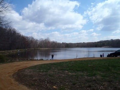
Left side of lake – road leading to boat launch
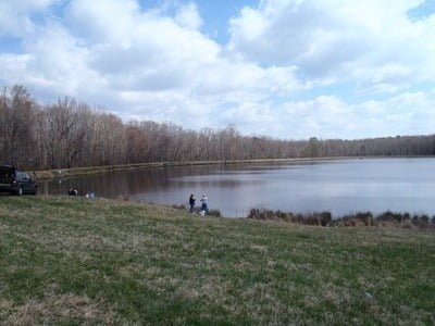
Left side shoreline is accessible
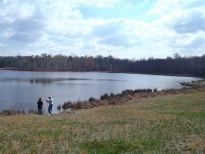
Area in front of the parking area – note forest on far bank
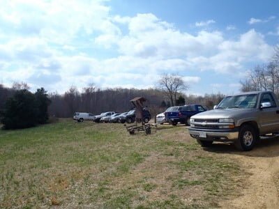
Busy place after stocking!
Unless stated otherwise, this article was authored by Steve Moore

