Approximate Boundary: 39.351423,-76.741501 to 39.368312,-76.737272 (1.53 miles)
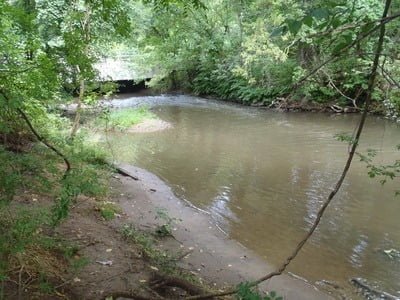
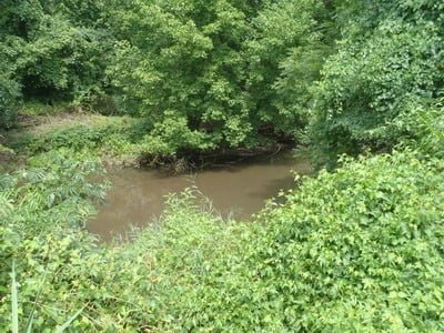
Sadly, the stream does not have much going for it. Although it has a decent amount of velocity, it wanders across a sandy bottom with few rocks or other scenic structure. After a rain, it will be thick and stained a deep chocolate. The bushes saturate the low, muddy bank to limit access. If you are going to fish this water, be prepared to wade.
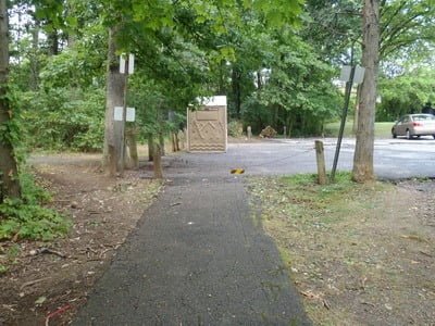
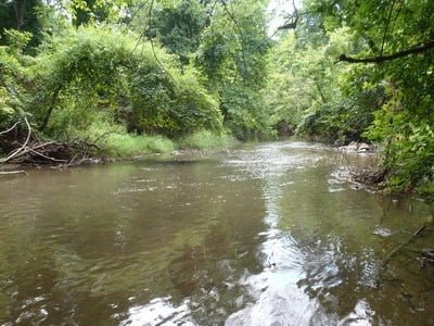
The most scenic place to fish is downstream from the Milford Mill parking area due to the higher flow stemming from the additional water contributed by Level Branch. Use the Gwynns Falls Trail along the west side of the stream to move quickly from place to place. Since both the trail and the stream run through the thickly wooded Villa Nova Park, the area has a remote feel despite being just inside the Baltimore Beltway. Upstream from Milford Mill, there is easy access from the roadside parking along the various residential streets on the east side of the park.
Getting There: From I-695, take exit 18 for MD 26W/Liberty Road. Turn right onto Washington Avenue, Turn right on Milford Mill Road. Turn left onto Silver Creek Road.
Access Point:
- Milford Mill Road east of I-695 (39.359752,-76.744891)
- Street parking along Cloudyfold Drive
- Street parking along Leafydale Terrace
- Cliffedge Road and Templecliff Road (39.36684,-76.737389)
Secrets Revealed? No. This is a very public location that is documented in the Maryland DNR stocking plan
Tell a friend about this article by clicking on this link

Easy walking from the Milford Mill lot

Wide and sandy

Downstream from Milford Mill

In upper reaches… overgrown
Unless stated otherwise, this article was authored by Steve Moore


