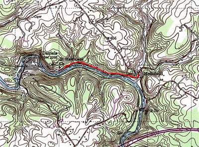
In April, I continued my work through the list of fishable trout water within spitting distance of Northern Virginia. Last year, I spent a lot of time on the road on repeated pilgrimages to Western Maryland. After learning how to pronounce the name of this river – try to say it fast a few times – I decided to head up and check out the area around the Daniels Dam.
According to the Maryland DNR, this is popular with fly anglers and is stocked with a 2 trout per day creel limit – catch-and-release. Interestingly enough, the DNR explicitly abandons the catch and release ethic for this river and emphatically states that folks should harvest up to the legal limit. The reason makes sense. Like Town Creek, this water becomes too warm for trout in the summer, and they will die anyway. By the time July rolls around, it’s pretty much over for the trout here. However, the river does hold smallies, so you can still visit this water and have a good time.
On the day I was here, the water was really high and unwadable. This river is massive! It’s very wide and the perfect place for a new fly guy like me to get some good practice. Unfortunately, this was not to be in April as the water was fast and deep on the day I was there. The banks next to the walking trail are a little steep and drop off into the river, so it’s not possible to really fish this well from the bank. Even if I could have cast, whatever I threw out would have washed away.
So, I chalked this up to a recon and packed it in.
This section is in the middle of a built-up area, but you cannot see any houses from the river. Other than the nice running trail, this place could have been in the middle of nowhere. The trail makes a good high-speed avenue of approach to get to where you want to fish – if you have a bike, you might want to ride it in. Since the water was so high on my day, there was no structure visible to target, but I assume this exists. The comment on the MD DNR site proves I was there on a strange day:
“The river is low in gradient, shallow and rocky with scattered deep pools and sandy runs. The many boulders provide pocket water that provide excellent habitat for the stocked trout and smallmouth bass.”
I did not see anyone but runners on the day I was there. Maybe everyone had better sense than I did. But, I had the sense that this river was not stressed. I did not see the typical indicators of pressure – trash, footprints, bait cans or other evidence of fishing humans.
Bottom line: This river is 35 miles long with all but a mile off limits or posted. I’m heading back to continue the investigation. To me, the lack of trout in the summer is no big deal as I am just as happy catching smallies!
The other reality is that I only walked a mile of this river. That’s like the old joke about the blind men each feeling a different part of the elephant. There is a lot to see on this river and I’ll have to return several times to investigate it. Thankfully!
Getting There: There is so much water here, that your best bet is to follow the directions on the DNR site.

There’s a nice running and biking trail that follows the river. Makes for an easy hike
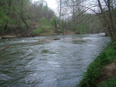
This river is WIDE. It was far too deep to wade on the day I was there.
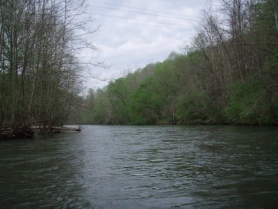
Additional shots of how wide this water is
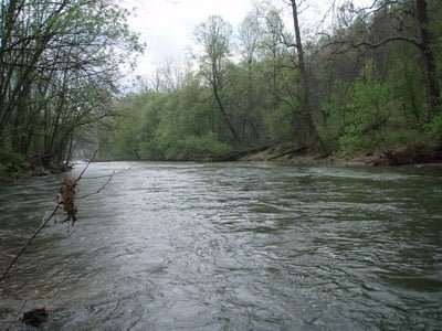
Additional shots of how wide this water is
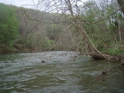
Where you could climb down, there was always a tree there waiting to mess with your cast!

I gave up after an hour. On the day I was there, you really needed a canoe.
Unless stated otherwise, this article was authored by Steve Moore
