The upper end of the Gunpowder has a totally different character – or so I am told. I took a quick look at the Masemore parking area (Waypoint 005) on the map to check it out.
It looks pretty much like the terrain down by Blue Mount Road. From looking at the map, I should not have expected anything different. There is a pretty wide valley that lets the water calm and flow slow. I’ll head up to the upper parking area where the contour lines are very tight – bet that will produce more plunge pools and difficult to get to places.
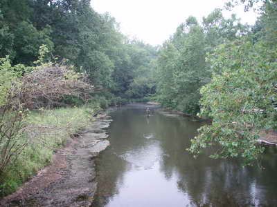
While here, I noted that there were 4 other cars parked in the lot. Two fishermen were just leaving the water and one was starting. It does not look like any of them were hard core trout hikers – especially the one who was starting – you can see him below beginining his day right at the parking lot. Bless his heart – you wonder how fished that area is.
Also saw two sets of kayakers getting ready to start working down the river – so be prepared for company if you go here. It should not be a big deal – the fish calm down quickly.

Getting There: Head north on 83 and get off at exit 27 for Mt Carmel. Head West over I83 and you will see the turn for Masemore Road on the right. It comes up quick and is a small road. It will wind its way back to the river – there are some one lane sections.

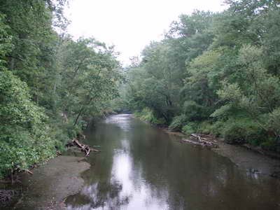
Looking upstream from the bridge at Masemore

Looking downstream from the bridge at Masemore
Unless stated otherwise, this article was authored by Steve Moore


