Approximate Boundary: 39.545154,-79.006984 to 39.558854,-79.017155 (1.3 miles)
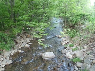
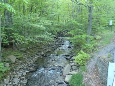
Laurel Run is a small freestone stream that weaves back and forth across Laurel Run Road. The road runs through a narrow canyon that compresses the stream, at times, to a width of 2 to 3 feet. The stream runs clear and cold across a rocky bottom throughout the stocked section. While it is stocked with a small number of fish compared to other streams in the area, pulling them out becomes a job for an expert instead of children or blind. At times, the stream is a mere trickle dribbling down the mountainside, forcing your attention to a rare deeper pool. While the stream is initially reasonably free from obstructions, the higher up the mountain you drive, the more constricted and technical the fishing becomes until reaching the bridge crossing at 39.56327,-79.01781 is approximately 2,500 feet downstream of the intersection with Willow Crest Road. Before this spot, dense forests line both banks with numerous overhanging bushes and trees perfectly designed to interfere with casting – no matter whether you fish with fly or spin gear.
The best place to fish for those who are not experts is in the upper section of Willow Crest Road downstream. It is only in that place where there are defined turnoffs. While the western bank is overgrown, it can be negotiated with care. The east bank is a stone-encrusted cliff that prevents movement. The best fishing will be in the pools formed by the several gradient breaks and the larger boulders. The flow remains minimal, and the stream is mostly shallow except in those pools.
In general, Laurel Run is going to be difficult to fish. There is no room for a long cast from the bank, you must be in the creek and negotiate the slippery streambed to get into position. Given the shallow nature of the water, the best fishing will be in the two weeks immediately after stocking. Note that the stocking schedule plants fish early in the season when the water levels are likely to be higher and the fish can disburse.
Getting There:
North: From I-68, take exit 34 for MD 36. Head south and drive through the town of Lonaconing. Turn right on MD 935 S/Lower Georges Creek Road. Turn left at the “T” intersection to remain on MD 935. Make a sharp right onto Laurel Run Road SW. Laurel Run begins at the bridge.
South: From Westernport, drive north on MD 36. Turn left on MD 935 S/Lower Georges Creek Road. Turn left at the “T” intersection to remain on MD 935. Make a sharp right onto Laurel Run Road SW. Laurel Run begins at the bridge.
Access Point:
- Intersection of Laurel Run Road and Pike Road (39.54567,-79.00845)
- Intersection of Laurel Run Road and Laurel Valley Drive (39.55098,-79.01455)
- Bridge crossing on Laurel Run Road (39.56007,-79.01803)
- Bridge crossing on Laurel Run Road (39.56327,-79.01781)
- Intersection of Laurel Run Road and Willow Crest Road (39.56653,-79.01776)
Secrets Revealed? No. This is a very public location that is documented in the Maryland DNR stocking plan.
Tell a friend about this article by clicking on this link

Wider at the bottom
Tight banks with overhanging vegetation
Smaller the higher you go
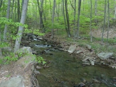
Shallow
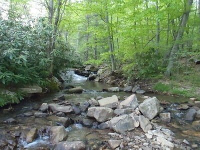
Upper section near Willow Crest
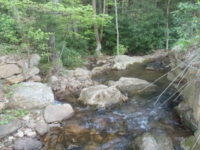
More boulders, some pools
Unless stated otherwise, this article was authored by Steve Moore
