Approximate Boundary: 39.702112,-78.566802 to 39.722679,-78.591177 (2.49 miles)
The Pennsylvania border is at 39.72257,-78.59023.
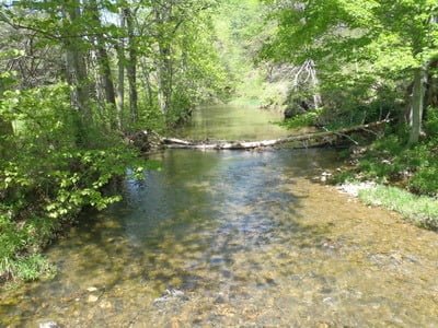
Flintstone Creek is a pretty freestone stream that winds its way north toward the Pennsylvania border. The stocked section starts at the northern boundary of the school on the south side of National Pike NE (MD 144) and gives anglers their first opportunity to reach the water. There is a Veterans Memorial at the intersection of Black Valley Road and National Pike adjacent to the creek, surrounded by thick, almost impenetrable brush. Rather than bushwhack through, drive 200 feet north toward the Interstate to pull into the expansive parking lot shaded by the highway overpass. The creek runs 25 feet wide, clean, and shallow across a rocky bottom, with the immediate deep channel on the eastern side snuggled up to the cliff. To fish, you must wade. There is no easy path next to the bank, and the thick vegetation defeats any thought of not getting wet.
Continuing north on Black Valley Road, the parking areas surrounding the Glendale Church of the Brethren is the next opportunity to jump in the water. Black Valley Road makes a hard right across the bridge over the creek. Flintstone Creek Road continues directly north with the water on the right. While the manicured lawn of the church makes for easy walking on the western shore, the eastern bank features a flat, slick rock face that rises vertically from the edge of the water. In fact, from here to the end of the stocked section, count on the eastern bank being steep, forbidding, and inaccessible since it is the southern boundary of Tussey Mountain and Buck Ridge. As a general rule, the deep channel runs along the cliffside.
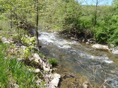
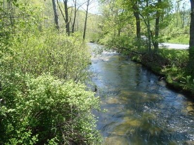
After passing the intersection with Shale Barren Trail, the road runs directly adjacent to the creek for approximately 1,000 feet with few turnouts. Other than the challenge associated with parking, access is easy since the banks are low without a protective wall of thick brush. From Tussy Hollow Road all the way up to Laurel Branch Trail, there is a dirt road that runs parallel to Flintstone Creek Road, closer to the water. As long as it has not been posted, the road provides the easiest access to most of the creek. There are plenty of deep stretches that provide an idyllic setting and perfect holding structure. Throughout its length, the streambed is covered in rocks with plenty of riffles to provide scenic interest and back up deeper water on the upstream side.
Although the theoretical northern boundary of the stocked section lies at the Pennsylvania border, do not be tempted to park in the small turnout at the northern end. The turnout is in Pennsylvania and may trigger a request for a Pennsylvania fishing license.
Getting There:
East: From I-68, take exit 56 toward MD 144. Turn right onto Flintstone Drive NE. The road at the next intersection is Flintstone Creek Road with the creek directly to the front.
West: From I-68, take exit 56 toward MD 144. Turn left onto MD 144/National Pike NE. The road at the intersection is Flintstone Creek Road. The creek is across the road.
Access Point:
- School on National Pike NE (MD 144) (39.700624,-78.565937)
- MD 144 and Black Valley Road Veterans Memorial (39.7006,-78.565861)
- Lot under the I-68 bridge (39.704484,-78.567141)
- All of the following are turns off of Flintstone Creek Road:
- Intersection with Flintstone Drive NE (39.707825,-78.566764)
- Intersection with Shale Barren Trail (39.71149,-78.56825)
- Intersection with Laurel Branch Trail (39.71782,-78.57808)
Secrets Revealed? No. This is a very public location that is documented in the Maryland DNR stocking plan.
Tell a friend about this article by clicking on this link


Unless stated otherwise, this article was authored by Steve Moore


