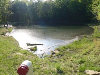
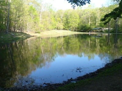
This pond is seemingly an afterthought tucked into a corner of a steep hillside off the main road leading into the 481-acre Dans Mountain State Park. The facade of remote wilderness falls away with a quick turn 500 feet to the east of the pond onto Recreation Area Road SW, which leads to the bustling Olympic-size swimming pool, bathhouse, and concession area.
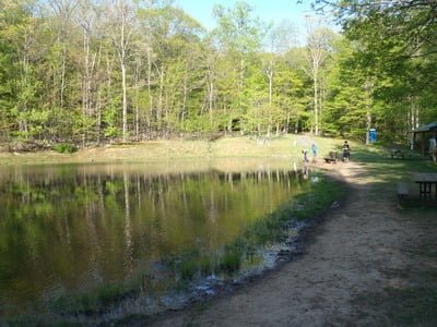
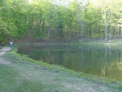
A cold stream dribbling in from the north feeds the pond, creating a muddy shoreline at the entry point. The remainder of the pond is accessible via a level, beaten path on the southern perimeter that merges into a rough fisherman’s trail on the north side. Pavilions and picnic tables complement the idyllic setting. While the pond’s center retains some depth, the bank is shallow, with the bottom gently sloping away from the shoreline. The majority of the shade hovers over the southern bank as a result of densely packed tall trees. However, there is enough setback, with perfectly placed gaps, to allow fly anglers to unload a full back cast.
Getting There:
North: From I-68, take exit 34 onto MD 36S/New Georges Creek Road SW. Turn left onto Rockville Street SW. Rockville Street turns into Water Station Run Road SW. Do not turn left on Bluebaugh Road. Stay to the right. Take the next fork to the left to continue on Water Station Run Road and follow it to the pond.
South: Follow MD 36N from Westernport to Lonaconing. Turn right onto Rockville Street SW. Rockville Street turns into Water Station Run Road SW. Do not turn left on Bluebaugh Road. Stay to the right. Take the next fork to the left to continue on Water Station Run Road and follow it to the pond.
Tell a friend about this article by clicking on this link
Access Point: Parking lot next to the pond on Water Station Run (39.562734,-78.950222)
Secrets Revealed? No. This is a very public location that is documented on the Maryland DNR website.
Unless stated otherwise, this article was authored by Steve Moore

