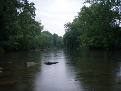
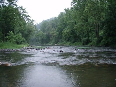
I spent the day doing a fishing recon of the Cacapon River. I’ll discuss all the places I discovered in other posts, but I want to start with this particular spot as it was interesting how I found it. I fished a variety of places upstream from Route 127, focusing on the various public access points that are documented in the Flyfisher’s Guide to Virginia (it also includes coverage of West Virginia). At the end of the day, I remembered that I had always looked at the river going across the bridge at the town of Capon Bridge en route to the North Branch. What the heck? I was already here — so why not go down and do a more detailed recon?
I poked at the Garman navigation system in the truck and told it to take me to Capon Bridge, WV. As usual, it chose the shortest/fastest route (or least that’s what the documentation says it does) and told me to turn south on Sandy Hollow Road off 127. The road quickly turned from hardball to dirt to hardscrabble with deep ruts and cuts that made for a happy truck and a bumpy ride. After 4 miles of dodging ruts and potholes, I was surprised to dead end at the river. If you follow the GPS coordinates link to Google, even it alleges that the road crosses the river. Well, the map shows a ford there, but the water is deep to the point where I would not risk it. Not a problem; I wasn’t here to drive the truck in the water; I was here to fish.
I waded out into the current and was instantly impressed with the structure. The bottom was full of medium-sized boulders and rocks with minimal sand. A few flips of my popper, and I started to pull in small smallies and sunfish. I worked the area above the ford for about 15 minutes and then turned my attention to the runout below the riffle. At this point, the rain that had pestered me all day started to come down with more intensity, but the fishing was good enough to where I decided to ignore it.
As you can see from the red track on the map, I did not really get a chance to do a full fishing event here as the sky eventually opened up and poured buckets. With the rain, the weather turned instantly cool, and my soaking wet clothes added an uncomfortable amount of personal refrigeration. Dang! I was catching fish! And now I had to choose between fishing or hypothermia — sometimes, life is just not fair.
Sadly, I decided to be an adult and headed back to the truck to change clothes while marking the spot for a future visit.

Cacapon River Fishing Bottom Line: There was evidence of pressure here. Upstream from the ford, there are a few beaten out areas with the remnants of old campfires. The typical trash associated with the uncouth litters the ground in those areas. This tells me that this is a spot that the locals certainly know about and frequent as I don’t see why anyone from out of town would come here and want to spend the time to have a campfire. However, if you live in West Virginia, you have so many choices on where to go I doubt any particular place gets stressed that much.
Getting There: From 522 out of Winchester, turn north on Rt 127 (Bloomery Pike) towards Bloomery. Turn south on Sandy Hollow Road. Follow it 4 miles to the point it deadends in the river. I do not recommend trying to ford… it’s deep at normal flow levels.
Google Local Coordinates: 39.3336,-78.424165
Secrets Revealed? No. The Cacapon is a very public location that is documented on the WV DNR website.
Date Fished: 07/31/2009
Tell a friend about this article by clicking on this link
Unless stated otherwise, this article was authored by Steve Moore


