Somehow, I ended up behind schedule and with a long “Honey-do” list that kept me busy until noon. With the typical weekend itch to fish disrupting my brain, I rushed through the chores while searching desperately for a place close enough to go fishing when I completed them. I wasn’t interested in hitting the Occoquan or any other lakes in the area because there just wasn’t enough time to deal with the canoe. From the back of my mind, I remembered working upstream from route 28 on Bull Run Creek over in Manassas. On that fishing recon, I had seen several big bass finning in the water upstream of the put in. That was enough for me to want to see if downstream was any better. It only took five minutes to throw all the gear in the truck, and I was off.
It’s a short 20-to-30-minute drive to the spot from my house, so I was hopeful that would be good enough to merit future visits. However, as I pulled into the parking lot at the trailhead, I noted the high density of cars taking up most of the spaces in the broad parking area. “Well,” I thought to myself, “this is the upper boundary of the Occoquan Water Trail; maybe these are all canoeists or kayakers.” One look at the low water flow in the creek eliminated that as a possibility. Swimmers? Yes, I could see plenty of people flopping in the water underneath the bridge and upstream in the good hole where I had seen the bass the year before. But I also saw many people with 5-gallon buckets and fishing rods — a combination that only means that “the cleaners” were in business. “Cleaners” are the folks who vacuum anything living out of the river and are using it as a food source. It doesn’t matter what they catch — sunfish, bass, chubbs — it all goes in the bucket for later. Since I have never had the misfortune of having to fish to eat, I certainly can’t hold that against them. But from a pure fishing enjoyment perspective, it did not bode well for me.
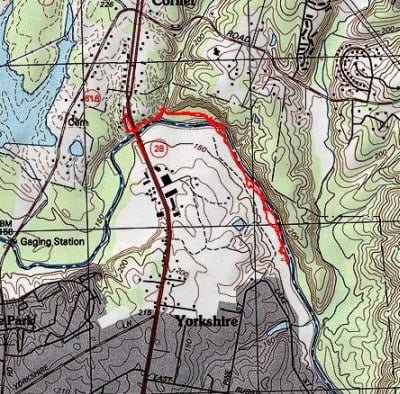
I decided to distance myself and the bridge and headed downstream on the well-marked trail that parallels the creek. About a half mile down, I cut over to the creek at a deep-looking spot, tied on a small popper, and immediately began to catch sunfish. After fishing various holes for a half-hour or so, I began to slowly conclude that I would not encounter any bass in this section. With that, I switched into “recon” mode and began to walk down the west bank of the creek to see what was there.
I was surprised to find a wide, well-developed trail/road on the western bank. It looked like people had run ATVs in the area, as I could see the deeply rutted tracks that were the evidence of their passage. I also noted that the traffic had picked up with hikers and joggers using that path to get their exercise. The trail hugs the bank of the creek all the way down to the southern end where it closes out on private property. As a result of this, I was able to put a good eyeball on the water and concluded that this area was a loser. While there were a few deeper holes under fallen trees and at the bends, I did not see any evidence of larger fish other than a few good-sized sunfish. The bottom of the creek was uniformly sandy without vegetation — not a good environment for anything but the tough little sunfish.
That said, I need to point out that this is the perfect place to teach someone to fly fish. The creek is wide and easy to wade with plenty of top water action provided by the eager and willing sunfish. It’s a great place to give a new fly guy instant feedback that will help them refine their fly-fishing skills without having to drive for hours to get to truly decent water. Even now, I get a kick out of sunfish taking anything that floats on top. Regardless of size, they provide an adrenaline bump that makes for an interesting day
Bull Run Creek Fishing Bottom Line: If you are looking for bass, don’t come here. If you want to get some practice on your casting with instant feedback provided by a dense population of sunfish, this is the location for you.
Getting There: Follow Route 28 north out of Manassas. As soon as you cross the bridge over Bull Run, turn left down a small road. This leads to the Occoquan Water Trail parking lot about 50 yards from the turn. It is at the base of the bridge.
Google Local Coordinates: 38.804130, -77.449820
Secrets Revealed? No. This is a public location that is documented in the website for the Occoquan Water Trail
Date Fished: 8/09/2009
Tell a friend about this article by clicking on this link
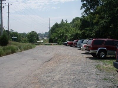
Surprisingly full parking lot at the trailhead
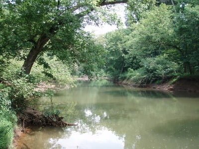
Downstream from the trailhead
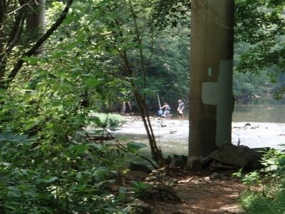
Upstream… you know you are in a bad place when you see guys with buckets fishing… “the cleaners”
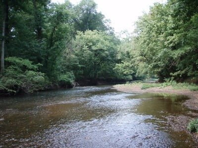
Entry point where I started fishing about a 1/2 mile downstream
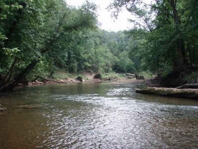
Most of the creek looked like Maryland
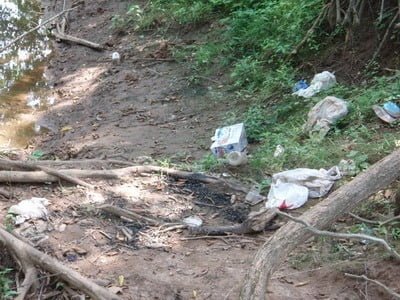
Plenty of evidence of jerks…
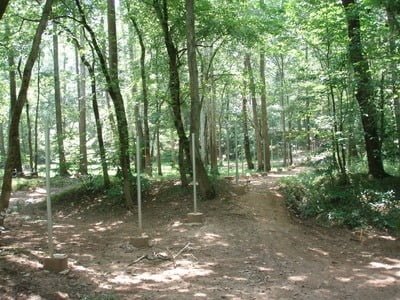
Private property at the southern end of the track
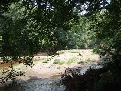
View downstream from the southern end does not look any better
Unless stated otherwise, this article was authored by Steve Moore


