After enjoying a good day on the lake when we motored north out of the Fountainhead launch, I looked forward to seeing what going south would offer. All the details on the access point and the fees to launch a canoe are in that post, so I will not repeat them here.
We headed south out of the launch, scanning the shores for a good place to start fishing. This has to be the deepest part of the Occoquan Reservoir. My depth finder was pinging at 30 to 50 feet in some places. As we motored south, I noted the high volume of other boats fishing this part of the lake. In fact, we had to skip the first half mile of water because several other fishermen were working the shoreline.
I decided to fish the first point sticking into the lake that formed the perimeter of the immediate eastern shoreline and was happy to find that the water was not excessively deep off that geographic feature. Up next to the shore, it was averaging between 10 and 15 feet with a gentle slope leading out from the finger. We didn’t pick up any bass in the spot, and as we rounded the corner, we ran into another boat. Not wanting to fish over the same water where he had just been, we headed across the lake to work the cliff face that formed the key structure on that side.
The water there was just like it was on the southern bank east of the Lake Ridge Marina access point — very, very deep. It easily reached 30 to 40 feet in depth next to this cliff. We worked a few spots where structure had fallen into the lake, but I’m not a good depth fisherman as I have not yet learned the most effective way to fish with jigs. After trying that spot for about a half hour, we decided to head back and work the area closer to the launch point under the assumption that many people would skip it in their effort to put distance between themselves and everyone else at the launch. The shoreline to the east of the launch looks pretty good; the depth was reasonable here and there was a decent amount of structure fallen into the lake that could potentially hold fish.
We got one or two good hits as we drifted along the shoreline but did not succeed in putting any fish into the boat.
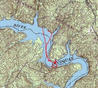
Occoquan Reservoir Fishing Bottom Line: This trip convinced me that I need to go out with a guide and learn the effective way to use jigs. There is so much deep water in the Occoquan that just throwing out Texas rigged worms and grubs isn’t going to cut it. I think that when I go to the Bass Pro Shops Spring Fling next year, I’ll ask the pros there about the best approach — maybe I can get that advice on the cheap. In addition, I’ll have to cruise some of the bass web sites and ask folks for guidance as well. In terms of the Fountainhead launch point, I don’t think that I will fish south from it again given that there is better water going north out of the same place.
Finally, a key point about fishing the Occoquan reservoir is a you need to get in good with a depth finder. Unfortunately, that does not include me at this point so that is another thing for me to focus on into 2010.
Getting There: “To reach Fountainhead, take I-95 south of the Beltway, exit at Occoquan and travel north on Rt. 123 approximately 5 miles. Turn left onto Hampton Road and drive 3 miles to the entrance on the left.”
Google Local Coordinates: 38.720675,-77.333493
Secrets Revealed? No. This is a public location that is documented on both the Virginia VDGIF site as well as the NVRPA site.
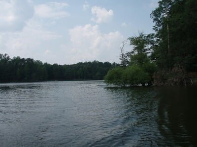
Scattered structure on the banks
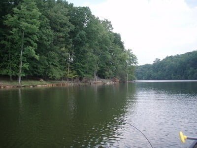
A lot of empty bank areas
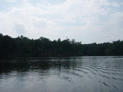
Looking southeast from the launch

Looking back towards the launch
Unless stated otherwise, this article was authored by Steve Moore


