Approximate Boundary: 39.651567,-78.478561 to 39.651154,-78.477124 (1 acre)
Added to the stocking plan in 1991, White Sulfur Pond has been a reliable producer, not only holding trout during the season, but for bass as well. In fact, the prevalence of bass will cause you to flip priorities many times during the day as one or the other species “turns on.”
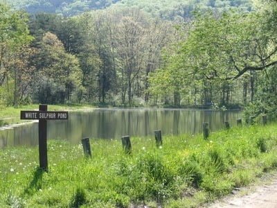
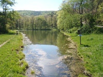
The pond is tucked into the northwest corner of the Green Ridge State Forest with a well-maintained dirt road leading to it. The eastern shoreline of the lake is easily accessible via a grassy bank with a smooth path leading between benches strategically placed along the perimeter. The western side is harder to negotiate using a small fisherman’s trail hanging on the bottom edge of the sharply pitched hill that creates a narrow barrier between the lake and the road where it climbs laboriously up the ridgeline.
There is no room for a fly angler’s backcast from the western side. As the season progresses, a mat of moderate density underwater vegetation grows from the shoreline and is thickest at the entry point near the parking area. There are no abrupt drops into deep water from the bank since the bottom slopes gradually away from the shoreline.
Tell a friend about this article by clicking on this link
Directions: From I-68, take exit 64 for US 40/15 Mile Creek Road. Turn left onto MD 144/National Pike. Turn left onto Old Williams Road followed by a quick left onto Black Sulphur Road. Follow it to the dead end and turn left on Wallizer Road. The pond is on the left approximately 1.5 miles from the turn.
Access Point: 39.651567,-78.478561 (parking area off Wallizer Road)
Secrets Revealed? No. This is a very public location that is documented in the Maryland stocking plan.


Unless stated otherwise, this article was authored by Steve Moore


